Cantabria by Bike

Las Fraguas, Obios Peak and the Sierra of La Rasía

Route 105

By: Javier Tovar, Pedro Ceballos, and Michael González Harbour


Map

Basic Data


Kilometers/Miles
40 / 25
Cumulative ascent: meters/feet
1344 / 4408
Maximum height: meters/feet
1221 / 4004
Total duration
4 hours and three quarters
Time moving
4:02 hours
Beginning and end location
Las Fraguas
Difficulty
High
Month
November 2009
Recommended period
Spring, Summer, Autum


Profile

Pictures


foto1
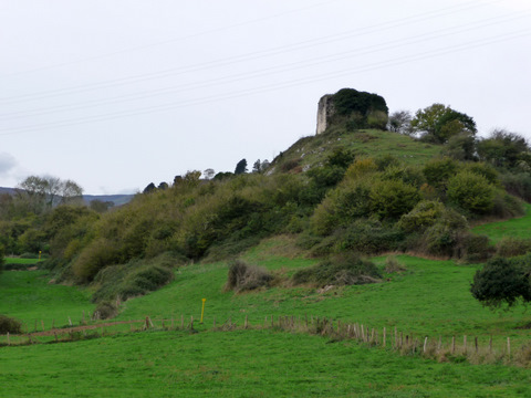
  The ruins of the castle of Quintín
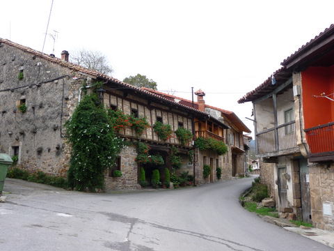
foto2
  The beautiful houses of Pie de Concha
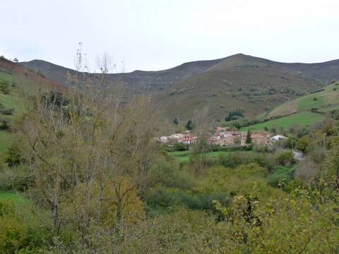
foto 3
The village of Pujayo is surounded by mountains with forest
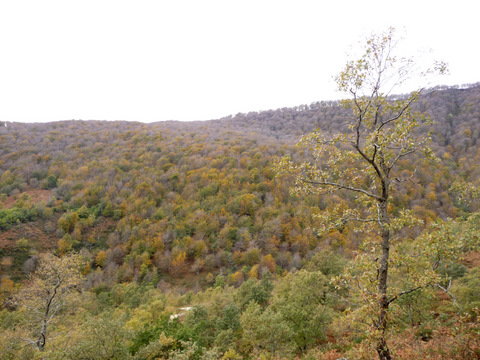
foto 4
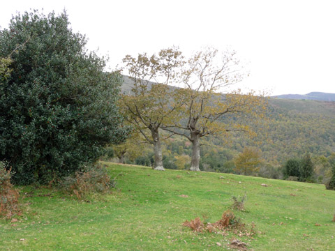
  The mountain sides show us the Autum colours
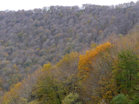
foto5
In the highest parts the trees have lost their leaves
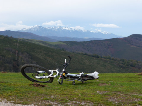
foto 6
From the height of Jelecheo we can see Peña Sagra,
with a little snow fallen last week
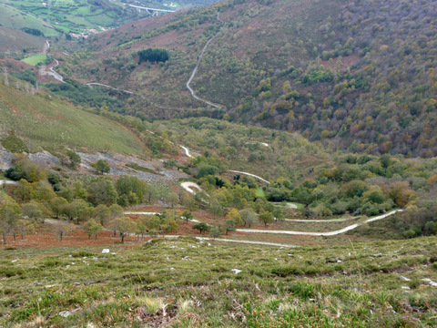
foto 7
From the top we can see the bends of the track that we have just climbed
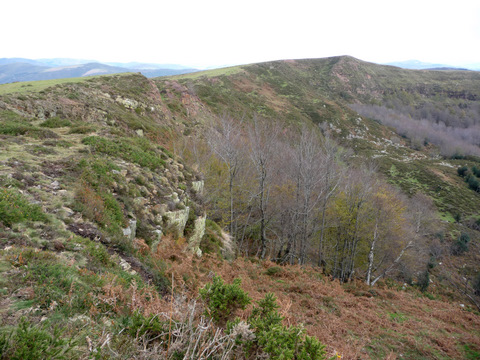
foto 8
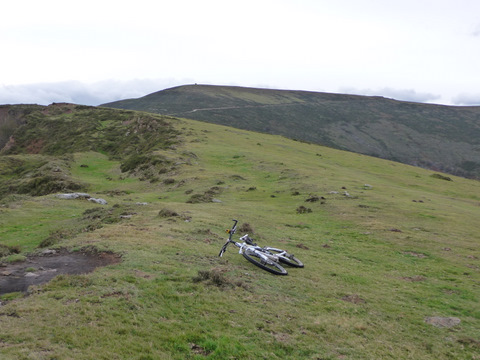
  The Sierra of La Rasía

foto 9
We go cross country in the Sierra

foto 10
  The field called La Serrolda

foto 11
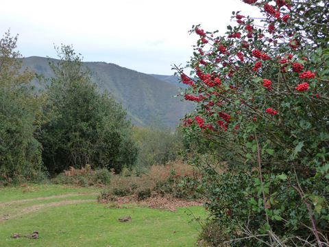
  Some holly trees are covered with red berries
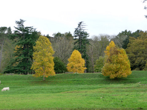
foto 12
The garden of the Palace of los Hornillos also shows us
its autum colours

Downloads

To open the route in Google Earth click on the 'KMZ' link and select 'Open with Goole Earth' (requires prior installation of Google Earth). To download a route, right-click on the link and select 'save link as' or a similar option.

Instructions

See the instructions and disclaimer, as well as other routes, in the main page.