Cantabria by Bike

Route of the Bridges in Ucieda

Route 104

By: Javier Tovar, Pedro Ceballos, and Michael González Harbour


Map

Basic Data


Kilometers/Miles
34 / 21
Cumulative ascent: meters/feet
885 / 2903
Maximum height: meters/feet
918 / 3011
Total time
4 hours
Time moving
2:55 hours
Beginning and end location
Ruente
Difficulty
Medium
Month
October 2009
Recommended period
All year round


Profile

Pictures


foto1
We approach the recreational area of Ucieda
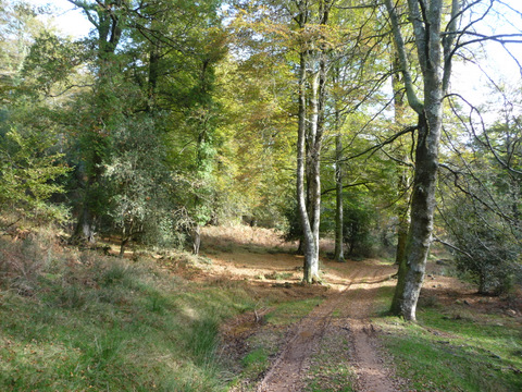
foto2
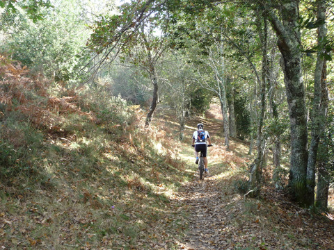
Going up the track of  "Haya Corva"

foto 3
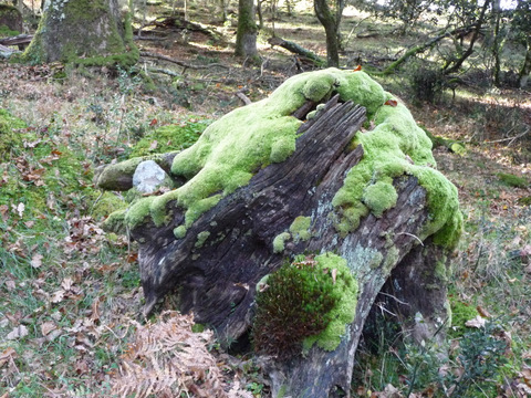
The moss covers the rocks and the old tree trunks
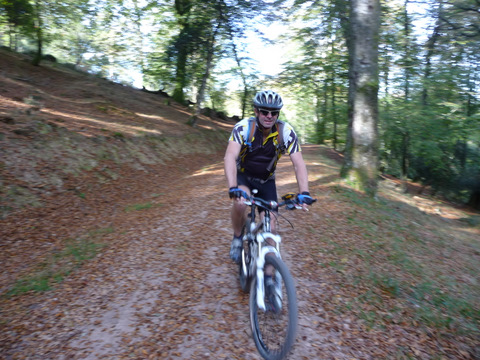
foto 4
The track of Haya Corva is in good condition
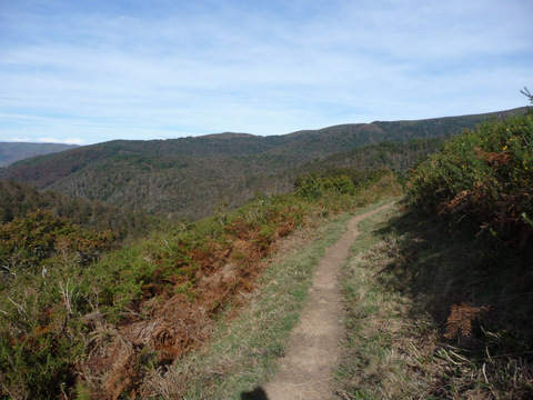
foto5
We start the route of the bridges

foto 6
We soon go into the forest
foto 7
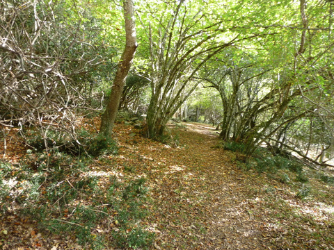
The path seems to go into a tunnel of vegetation
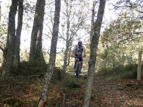
foto 8
Its nice to ride on the fallen leaves
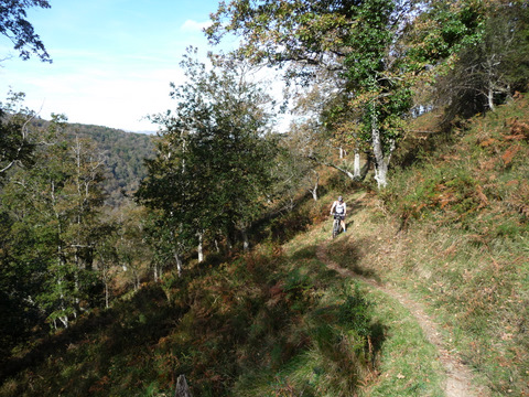
foto 9
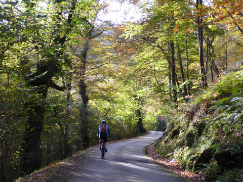
The path comes out of the forest for a while
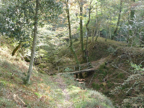
foto 10
One of the many bridges that name the route


Downloads

To open the route in Google Earth click on the 'KMZ' link and select 'Open with Goole Earth' (requires prior installation of Google Earth). To download a route, right-click on the link and select 'save link as' or a similar option.

Instructions

See the instructions and disclaimer, as well as other routes, in the main page.