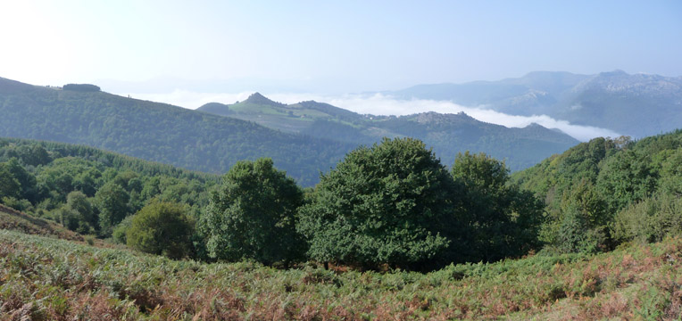
The view from the ridge of Peak Ventoso, with the Peak of Hilar highlighted by the fog behind it

| Kilometers/Miles |
35 / 22 |
| Cumulative ascent: meters/feet |
956 / 3136 |
| Maximum height: meters/feet |
724 / 2374 |
| Total Time |
3 and a half hours |
| Time moving |
2:48 hours |
| Beginning and end location |
Nocina (Guriezo) |
| Difficulty |
Medium |
| Month |
September 2009 |
| Recommended period |
All year round |
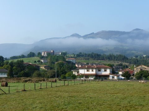 The fog partially covers the mountains around Guriezo |
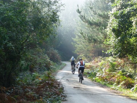 The ascent by the track in the area called Cojoreal |
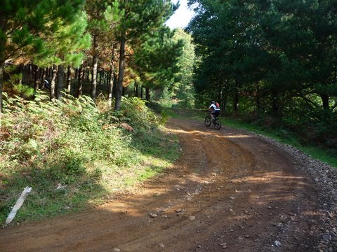 The track continues unpaved, always inside the forest |
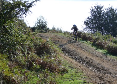 At the end there are a couple of short steep sections |
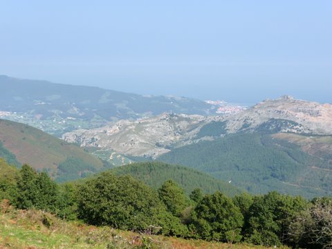 We can see Castro Urdiales and the coast from Peak Ventoso |
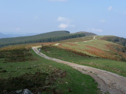 The route continues on the ridge, from which we get excellent views of the valleys |
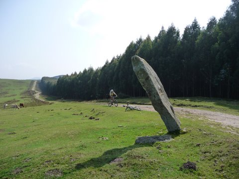 We pass by the menhir of Ilso Anguía |
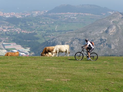 We cycle while looking at Castro Urdiales from the height |
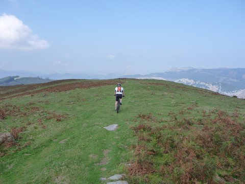 We continue cross country
|
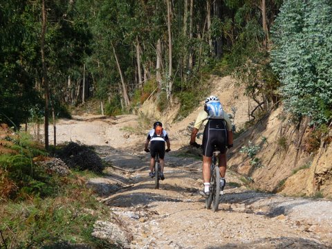 The final descent is by a steep track in a eucaliptus forest |