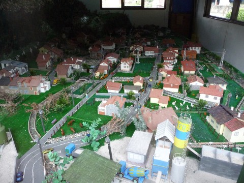
A model of the village of Penilla
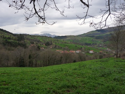
The height of San Martín seen from Pando
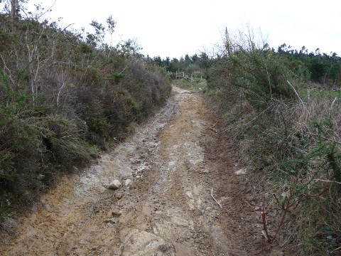
The hard ascent to Mount Caballar
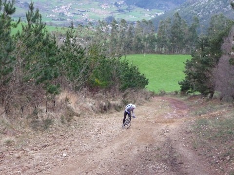
The track is very steep
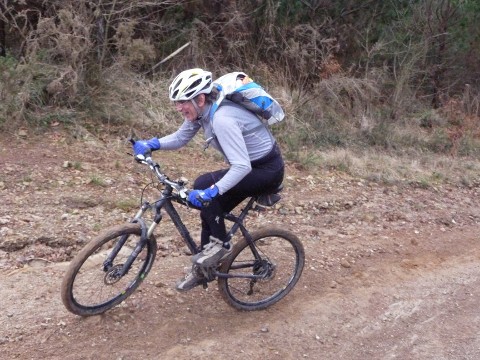
Another picture of the ascent
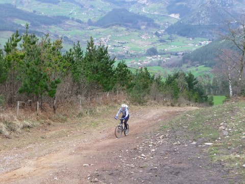
We get good views of the valley of river Pas
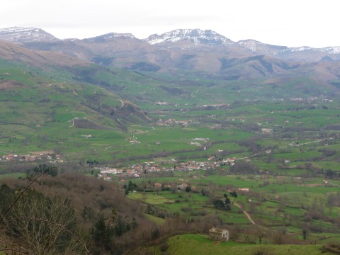
The valley of Carriedo, with peak Castro Valnera behind
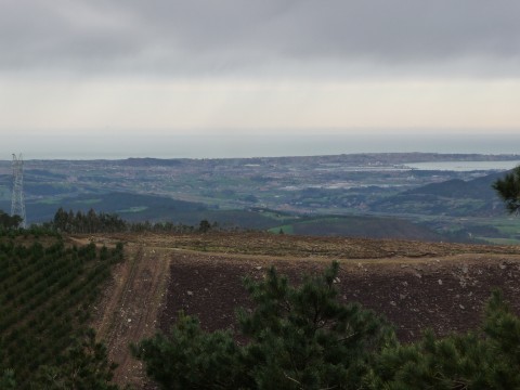
The bay of Santander as seen from Mount Caballar
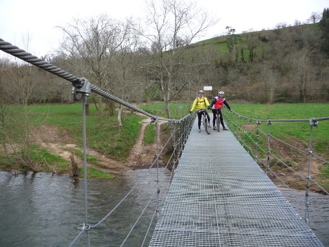
We cross a pending bridge over
the Pisueña river
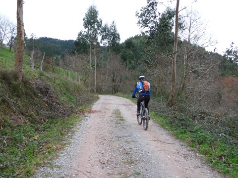
The ascent to Pando from San Román