Cantabria by Bike

Regules, Rehoyos, Fresnedo, Herada, La Mortera Peak

Route 92

By: Javier Tovar, Pedro Ceballos, and Michael González Harbour

Map

Basic Data


Kilometers/Miles
35 / 22
Cumulative ascent: meters/feet
1075 / 3526
Maximum height: meters/feet
756 / 2480
Total duration
4 hours
Time moving
3:05 hours
Beginning and end location
Regules
Difficulty
Medium
Month
January 2009
Recommended period
All year round


Profile

Pictures


foto1
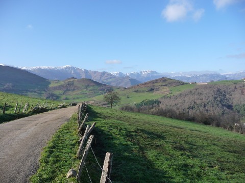
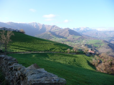
  A view of the valley of  Soba looking West
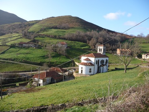
foto2
The neo-romanesque church of St. Martin, in Rehoyos
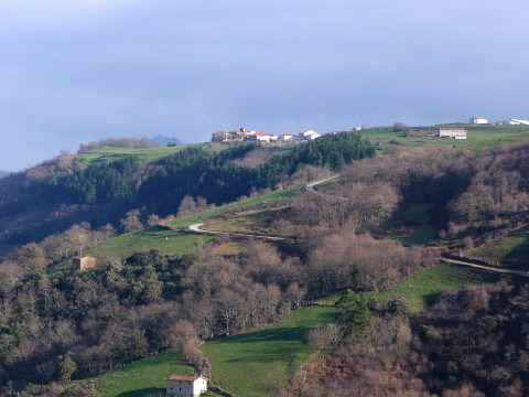
foto 3
The ascent to Fresnedo
foto 4
We climb towards the pass of Los Tornos
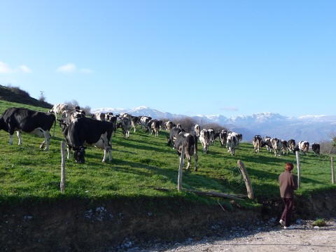
foto5
A herd of cows feeding on the fresh grass
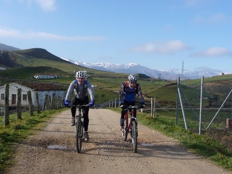
foto 6
The highest point of the route, in Mount el Prado
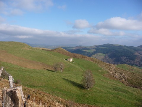
foto 7
An isolated cottage
foto 8
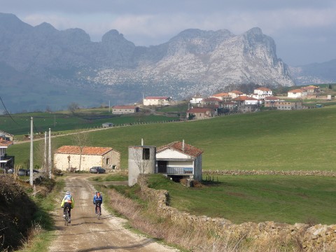
  We arrive at the village of Herada by the old path of Landia
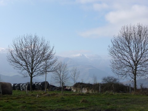
foto 9
Trees in a farm

foto 10
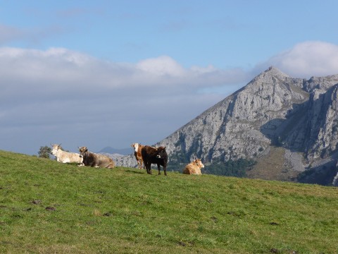
Some cows in front of Peña del Moro,
  located in the massif of Ubal
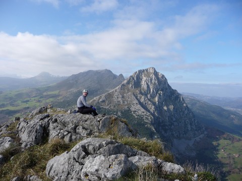
foto 11
Peak San Vicente, from the top of Peak La Mortera
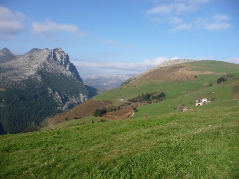
foto 12
Peak San Vicente, to the left, and La Mortera to the right

Downloads

To open the route in Google Earth click on the 'KMZ' link and select 'Open with Goole Earth' (requires prior installation of Google Earth). To download a route, right-click on the link and select 'save link as' or a similar option.

Instructions

See the instructions and disclaimer, as well as other routes, in the main page.