Kilometers/Miles |
44 / 27 |
Cumulative ascent: meters/feet |
1078 / 3565 |
Maximum height: meters/feet |
350 / 1148 |
Total duration |
4 hours and three quarters |
Time moving |
3:52 hours |
Beginning and end location |
San Vicente de la Barquera |
Difficulty |
Medium |
Month |
December 2008 |
Recommended period |
All year round |
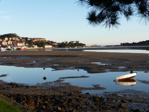
![]() The estuary of San Vicente de la Barquera |
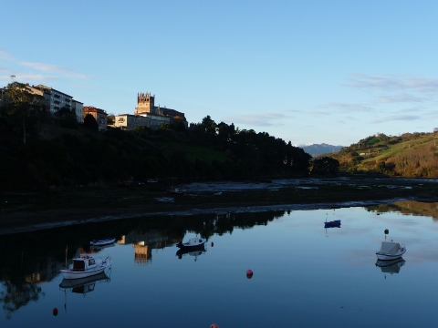
![]() The church of Nuestra Señora de los Ángeles, is on top of a hill over the estuary |
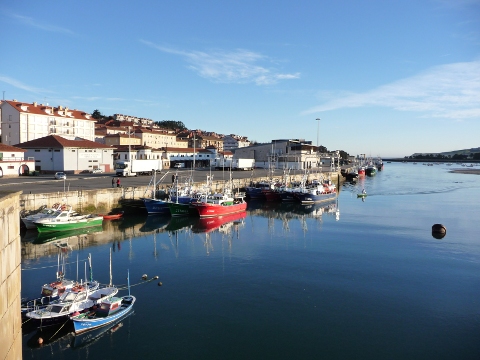
![]() Fishing boats in the port of San Vicente |
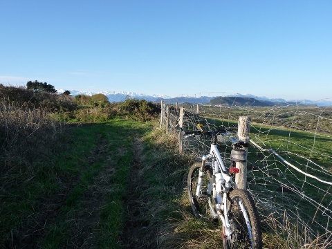
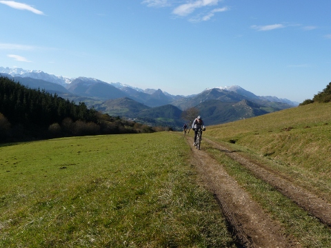
![]() The massif of Picos de Europa forms the skyline at the end of this path |
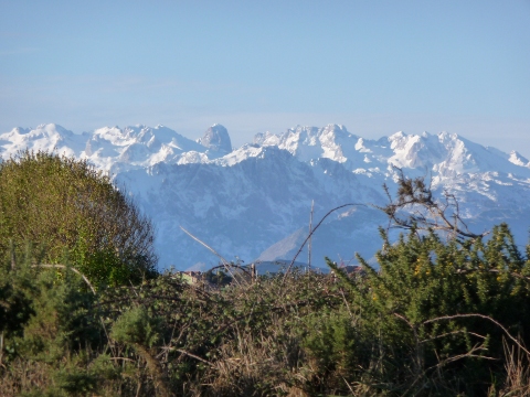
![]() The Picos de Europa, with mount Naranjo de Bulnes in the center |
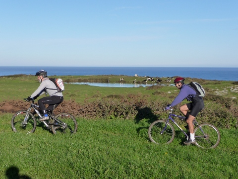
![]() We pass by a pond |
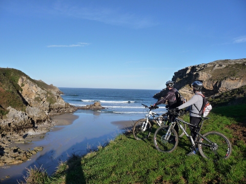
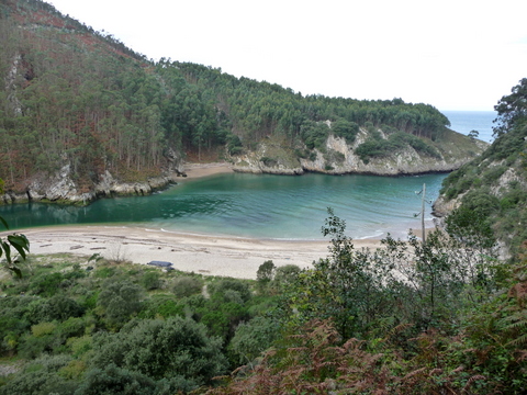
![]() The beach of Fuentes |
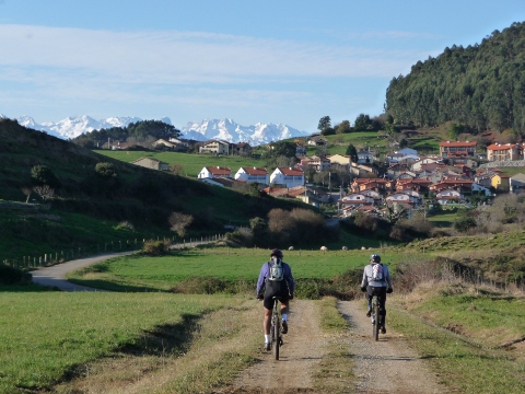
![]() The village of Prellezo, with the Picos de Europa behind |
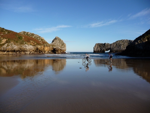
![]() The beach of Prellezo
|
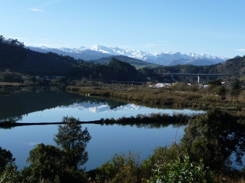
![]() The snowy mountains reflect on the estuary of Tina Menor |
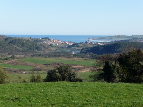
![]() A view of San Vicente, from the village of Serdio |
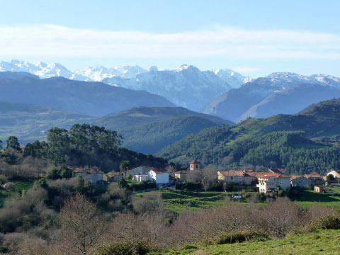
![]() The village of Luey |
![]() The final part of the ascent to Sel del Avellano |
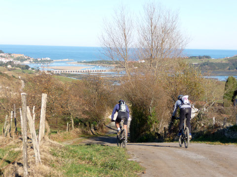
![]() The final descent to San Vicente |
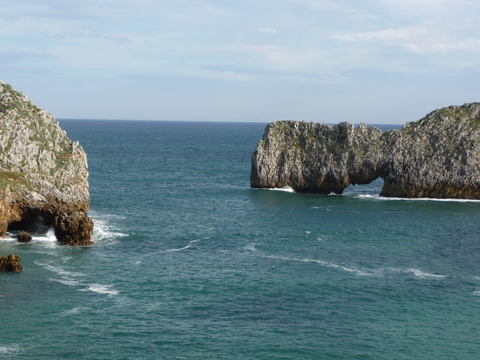
![]() The beach of Fuentes |
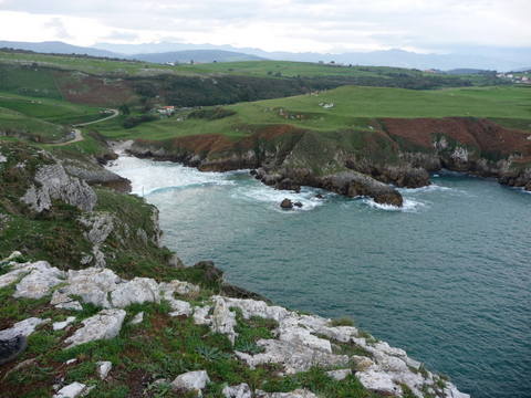
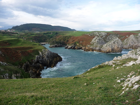
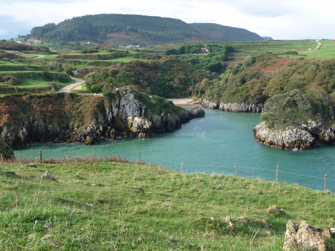
![]() Prellezo cove |
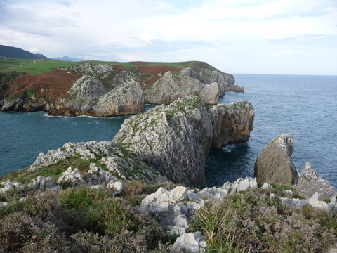
![]() The cliffs that close Prellezo cove |
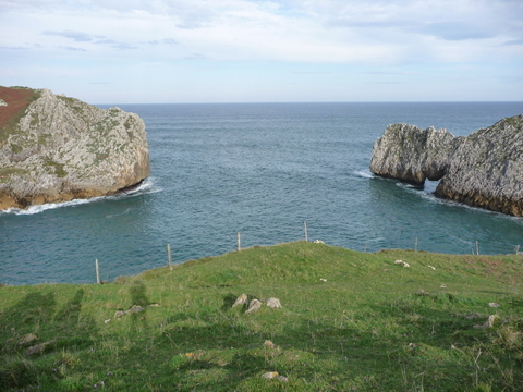
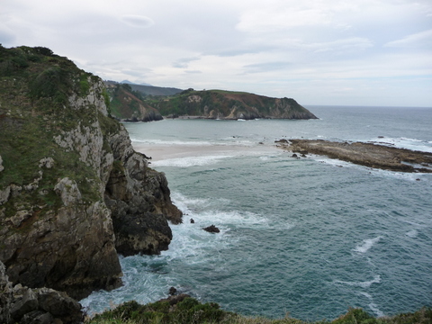
![]() Prellezo cove opens to the Cantabrian sea |
![]() The beach of Prellezo |
![]() Rock arch over the sea |
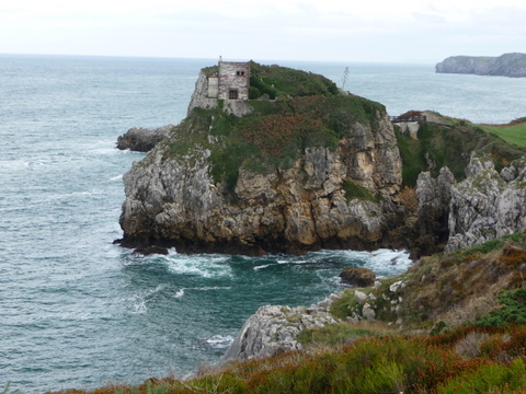
![]() The castle-tower of Rudi, in Pechón |
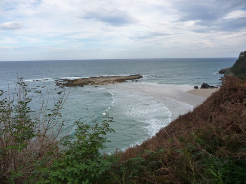
![]() The beach of Pechón |
![]() Another view of the beach of Pechón
|
![]() Beach in the estuary of Tina Mayor |