Cantabria by Bike

Coast of Soto de la Marina and Cuchía from Bezana

Route 89

By: Javier Tovar, Pedro Ceballos, Jesús Rodríguez, and Michael González Harbour

Map

Basic Data


Kilometers/Miles
54 / 34
Cumulative ascent: meters/feet
972 / 3188
Maximum height: meters/feet
165 / 551
Total time
5 hours and a quarter
Time moving
4:13 hours
Beginning and end location
Santa Cruz de Bezana
Difficulty
Low
Month
November 2008
Recommended period
All year round

Profile

Pictures


foto1
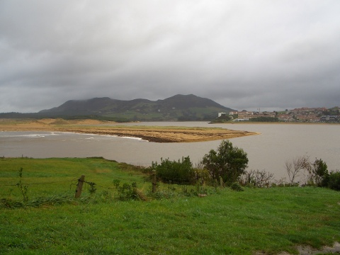
  We cycle by the estuary of Mogro
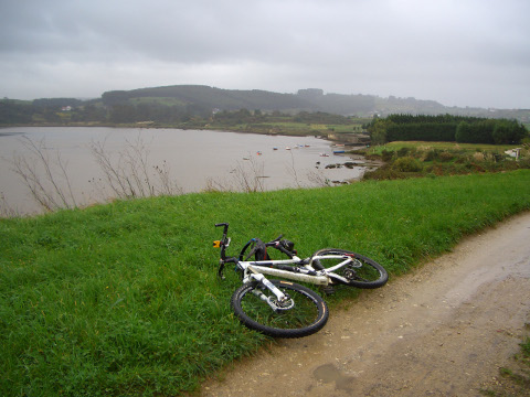
foto2
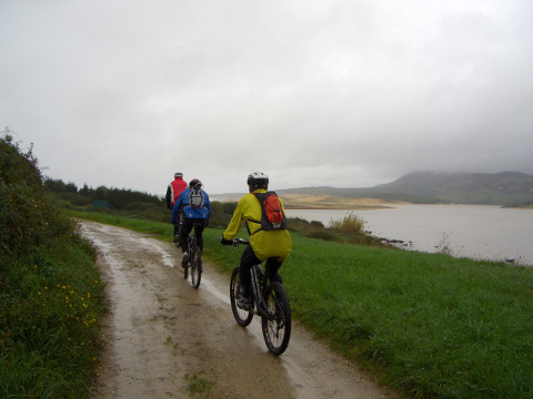
It is a rainy day

foto 3
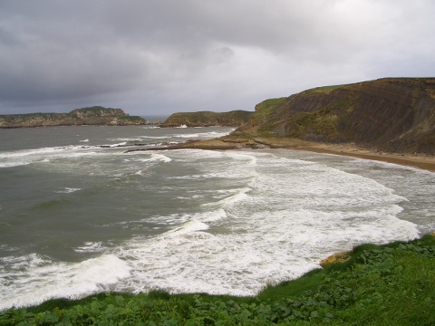
  The beach of Valdearenas, from Punta del Águila
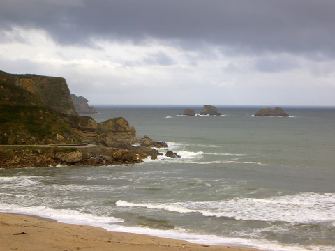
foto 4
The beach of Usgo

foto5
The beach of El Caballo, in Cuchía

foto 6
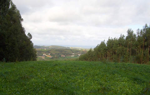
The view from the height of La Cocena
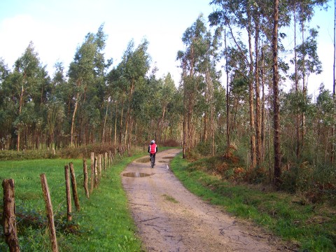
foto 7
We cycle on the ridge near the height of la Comporta
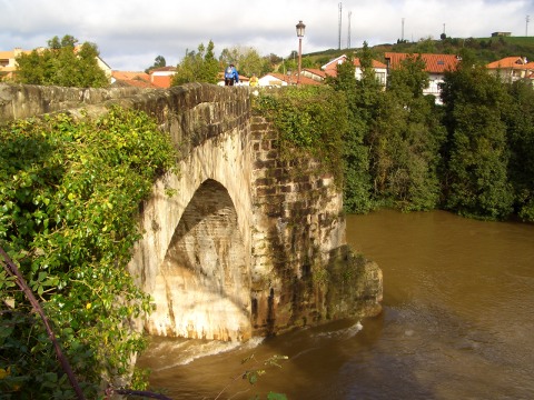
foto 8
  The middle-age bridge over river Pas, in Puente Arce

Downloads

To open the route in Google Earth click on the 'KMZ' link and select 'Open with Goole Earth' (requires prior installation of Google Earth). To download a route, right-click on the link and select 'save link as' or a similar option.

Instructions

See the instructions and disclaimer, as well as other routes, in the main page.