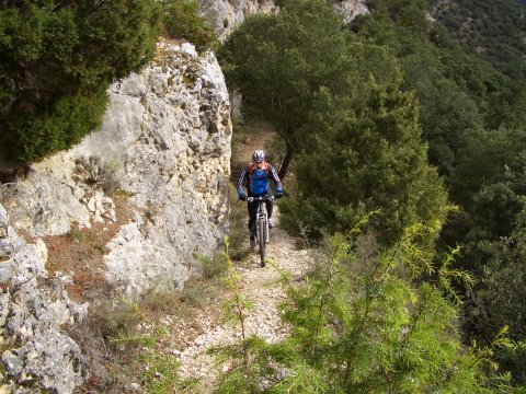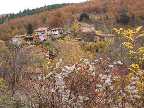
Cantabria by Bike

Valleys of Zamanza and Manzanedo and Pesquera de Ebro

Route 88

By: Javier Tovar, Pedro Ceballos, and Michael González Harbour

Map

Basic Data


Kilometers/Miles
49
Cumulative ascent: meters/feet
977
Maximum height: meters/feet
930
Total duration
4 hours
Time moving
3:28 hours
Beginning and end location
Near Gallejones
Difficulty
Low
Month
November  2008
Recommended period
All year round

Profile

Pictures


foto1
The village of Bascones de Zamanzas, surrounded by forest
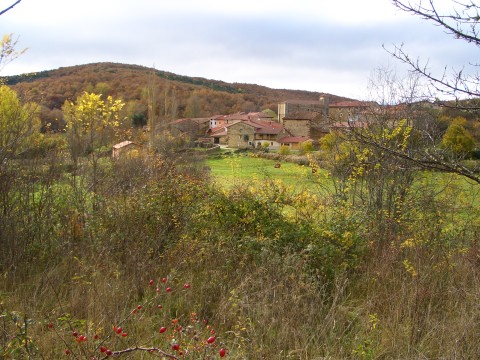
foto2
The village of Población de Arreba

foto 3
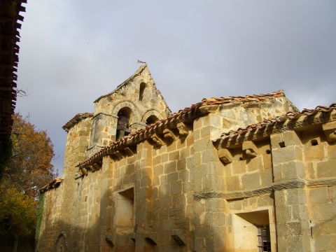
  The romanesque church of Ailanes
foto 4
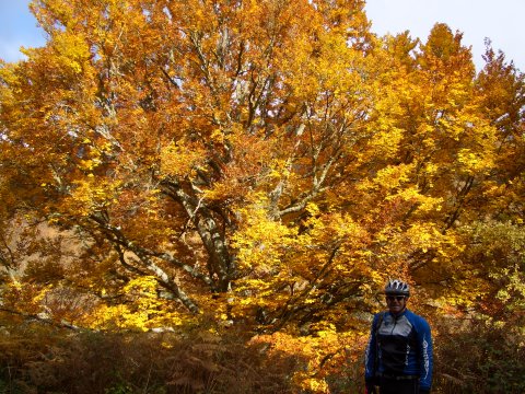
A large beach tree with its autum colours
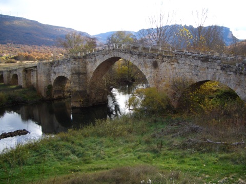
foto5
  The bridge over the Ebro river, at Villanueva Rampalay
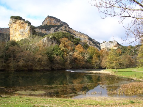
foto 6
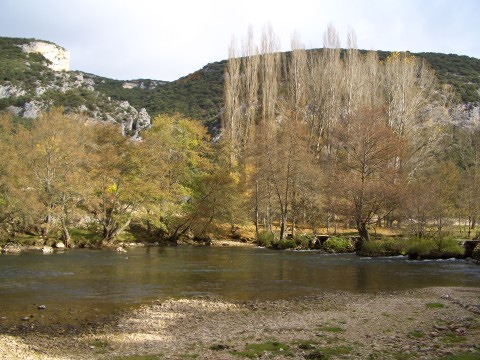
  An area of shallow water created by the river at Tudanca de Ebro
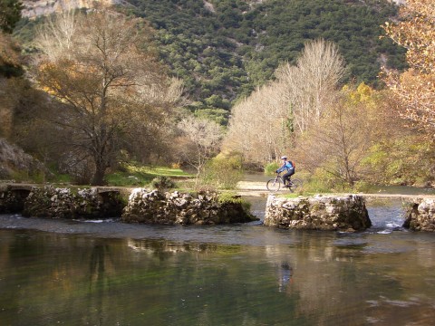
foto 7
We cross the river by a narrow bridge
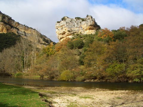
foto 8
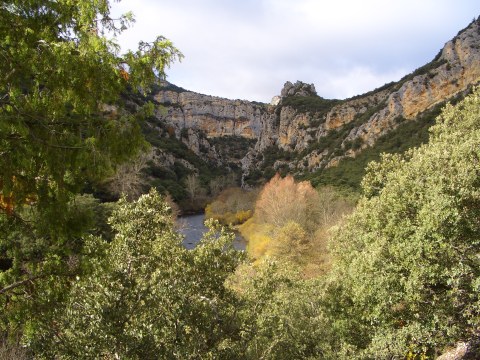
  River Ebro forms a beautiful canyon

foto 9
The trees by the river

foto 10
  The canyon of river Ebro in Tudanca
foto 11
A footpath at the bottom of the canyon
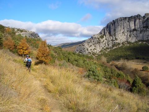
foto 12
The ascent from Pesquera de Ebro to Turzo
is through a nice path
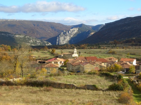
foto13
  The village of Turzo with the canyon of river Ebro in the background
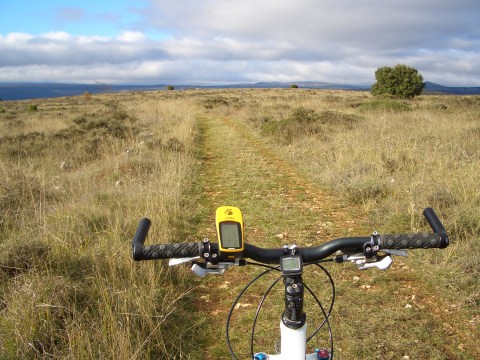
foto14
We approach the end of the route by a moorland

Downloads

To open the route in Google Earth click on the 'KMZ' link and select 'Open with Goole Earth' (requires prior installation of Google Earth). To download a route, right-click on the link and select 'save link as' or a similar option.

Instructions

See the instructions and disclaimer, as well as other routes, in the main page.