Cantabria by Bike

Mount Hijedo from Bimón

Route 87

By: Javier Tovar, Pedro Ceballos, and Michael González Harbour

Map

Basic Data


Kilometers/Miles
47 / 29
Cumulative ascent: meters/feet
964 / 3161
Maximum height: meters/feet
996 / 3266
Duration
4 hours and a quarter
Beginning and end location
Bimón
Difficulty
Medium
Month
October 2008
Recommended period
All year round

Profile

Pictures


foto1
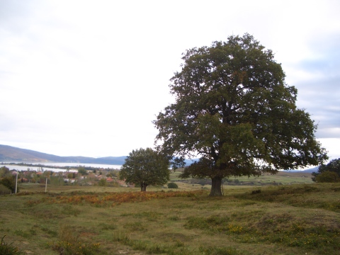
  The village of Arija behind a large oak tree
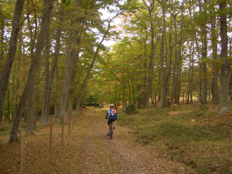
foto2
The forest is starting to show the autum colours
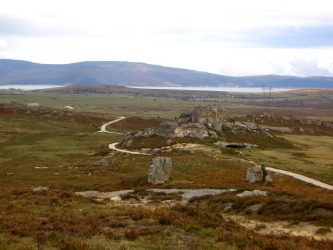
foto 3
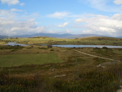
The reservoir of Ebro can be seen in the distance
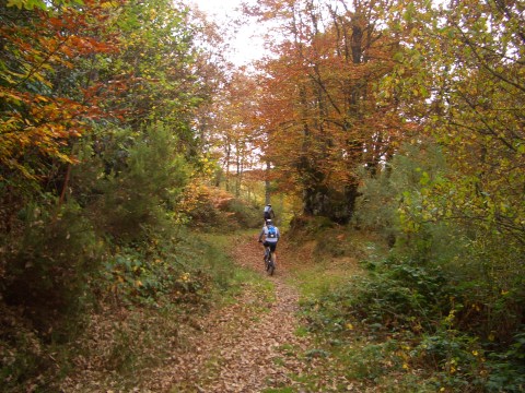
foto 4
  We enter the forest of Mount Hijedo

foto5
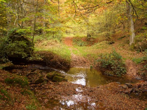
  The creek of Hijedo

foto 6
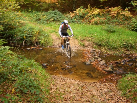
  We have to cross the creek eight times
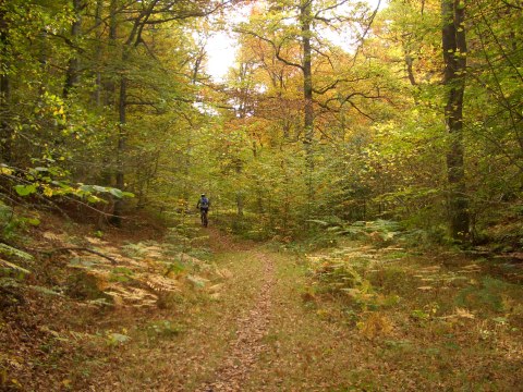
foto 7
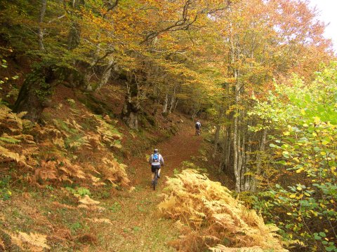
The forest is gorgeous
foto 8
We cycle on the track by the creek of  la Breña
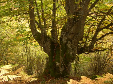
foto 9
An impresive beech tree

foto 10
The forest with its autum colours
foto 11
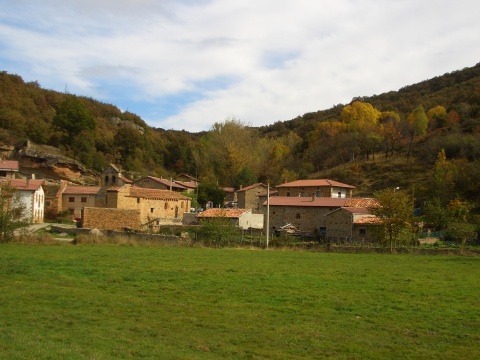
The village of Cejancas

foto 12
The track near the area of los Portillones
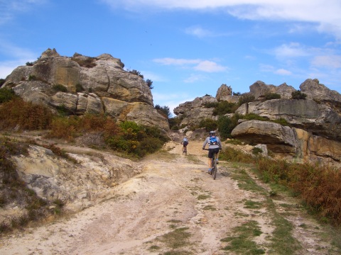
foto13
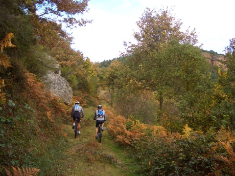
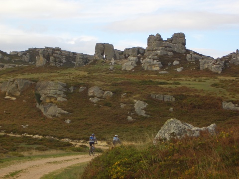
We cross a pass next to huge rocks

foto14
  We approach the reservoir of Ebro near Arija

Downloads

To open the route in Google Earth click on the 'KMZ' link and select 'Open with Goole Earth' (requires prior installation of Google Earth). To download a route, right-click on the link and select 'save link as' or a similar option.

Instructions

See the instructions and disclaimer, as well as other routes, in the main page.