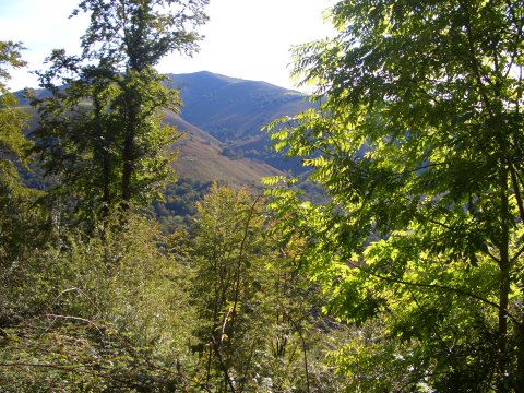
The ascent by the Mina de Lápiz
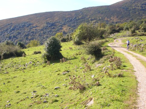
Near the refuge of Bucierca
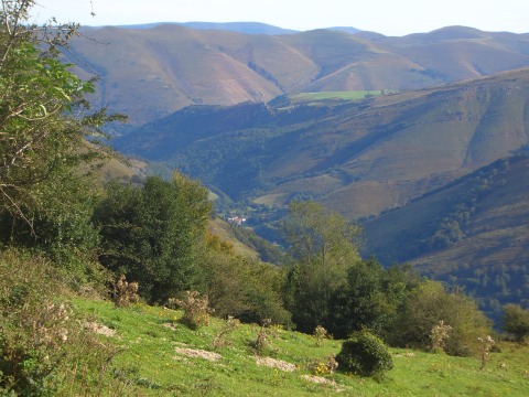
The village of Saja at the bottom of its deep valley
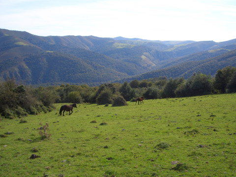
The horses enjoy running on the prairies
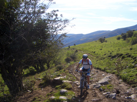
The track near the Braña de Bucierca is quite rocky
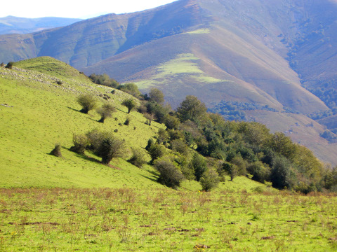
The trees stand out in the green prairies
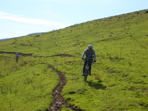
We cycle near the pass of Brañalengua
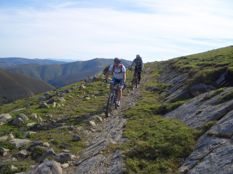
Arriving at the Brañas de Carraceo
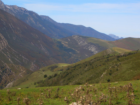
The ascent from La Lastra to the pass of Abellán can be seen in the
distance
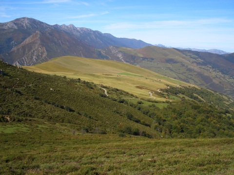
The vast Prado Concejo de Tudanca
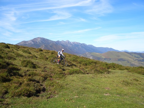
We exit an area of spiny bushes
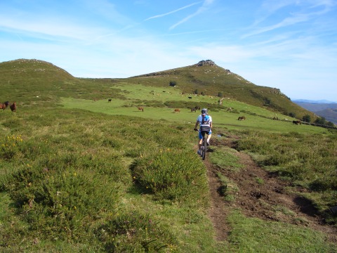
We approach Braña de la Hoya
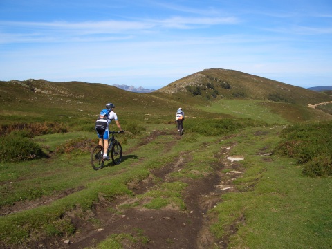
The start of the track of Valfría
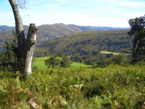
A view of Valfría