Cantabria by Bike

Ascent to Tresmares Peak from Riaño

Route 85

By: Javier Tovar, Pedro Ceballos, and Michael González Harbour

Map

Basic Data


Kilometers/Miles
34 / 21
Cumulative ascent: meters/feet
1329 / 4359
Maximum height: meters/feet
2178 / 7143
Duration
4 hours
Beginning and end location
Riaño
Difficulty
High
Month
September 2008
Recommended period
Summer, start of autum
.

Profile

Pictures


foto1
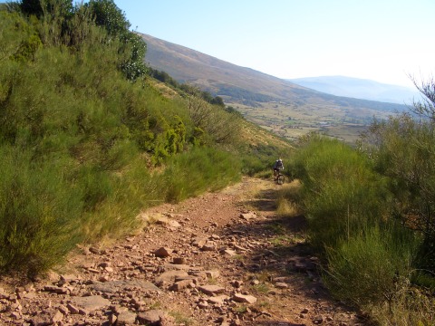
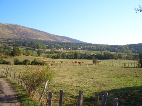
  The valley of Campoo, in the fresh air of the morning
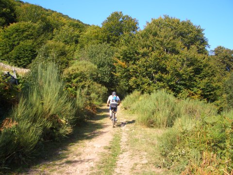
foto2
  The track goes into a small forest

foto 3
The ascent becomes rather hard
foto 4
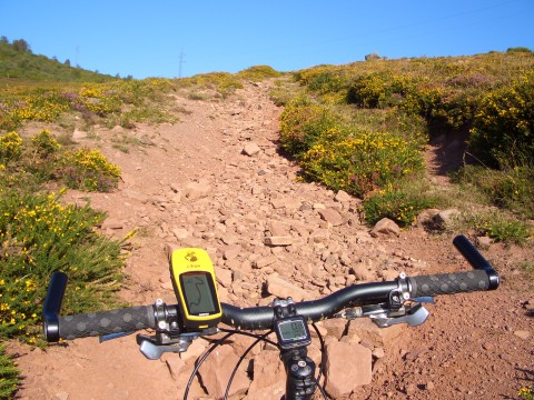
The stony track forces us to walk pushing the bike
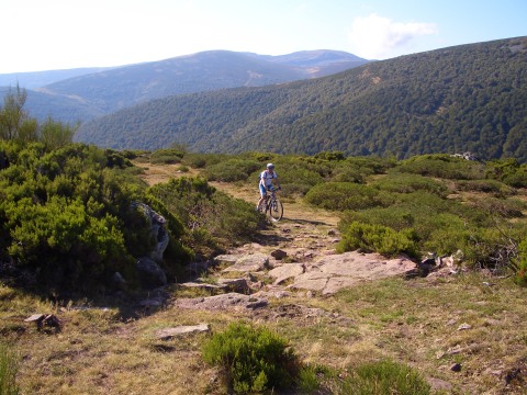
foto5
  The last section of the ascent to the ski station is cross country
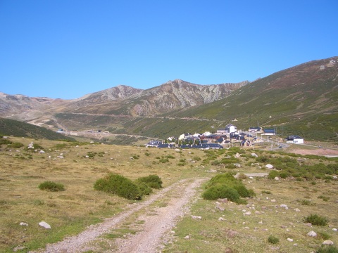
foto 6
  The ski station of Brañavieja
foto 7
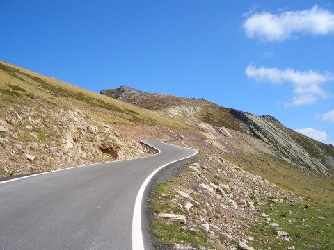
The ascent to La Fuente del Chivo, by a paved road
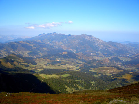
foto 8
  At the lookout of Fuente del Chivo we get spectacular views of
the valley of Polaciones and the massif of Peña Sagra
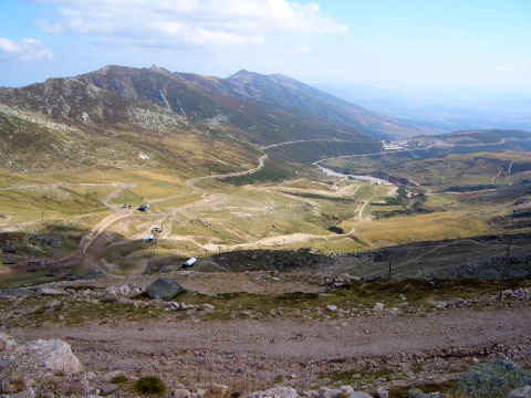
foto 9
The ski tracks through which we will descend later
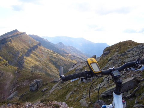
foto 10
  We get wonderful views of the Cantabrian range
from the Tresmares peak
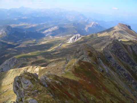
foto 11
Peña Labra, as seen from the Tresmares peak,
with the Palentine Mountains behind
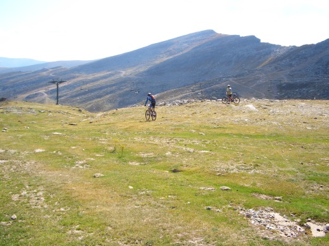
foto 12
The descent by the ski tracks is very enyoing

Downloads

To open the route in Google Earth click on the 'KMZ' link and select 'Open with Goole Earth' (requires prior installation of Google Earth). To download a route, right-click on the link and select 'save link as' or a similar option.

Instructions

See the instructions and disclaimer, as well as other routes, in the main page.