Cantabria by Bike

Salces, Barranco de las Hachas, Ozcaba, Cruz de Fuentes

Route 38a

By: Javier Tovar, Pedro Ceballos, and Michael González Harbour

Map

Basic Data

Kilometers/Miles
44 / 27
Cumulative ascent: meters/feet
1260 / 4133
Maximum height: meters/feet
1515 / 4969
Duration
5 hours
Beginning and end location
Salces
Difficulty
High
Month
October 2008
Recommended period
Summer, start of autum

Profile

Pictures


foto1
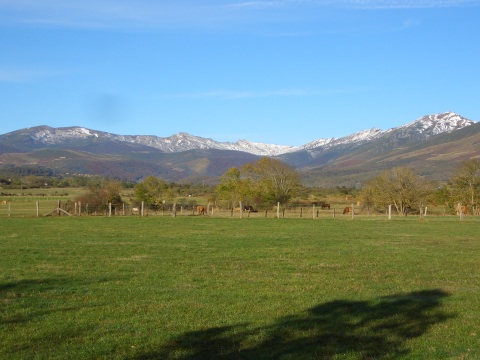
  The valley of Campoo, with Brañavieja behind
foto2
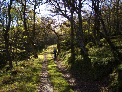
The track crosses the oak forest of las Camperas
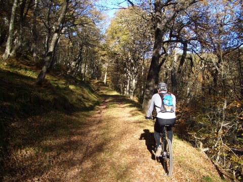
foto 3
The leaves cover the trail
foto 4
The colours of the forest shine with the sun light
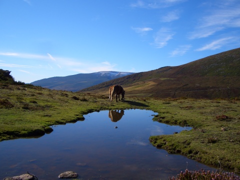
foto5
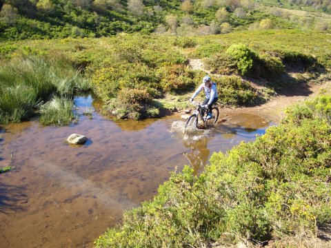
We find this beatiful pond after coming out from the forest
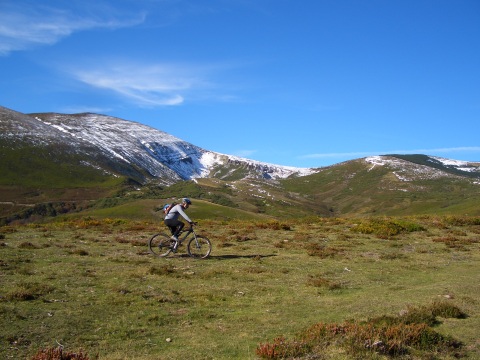
foto 6
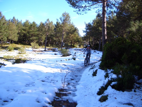
  The pass of Rumaceo, covered with snow
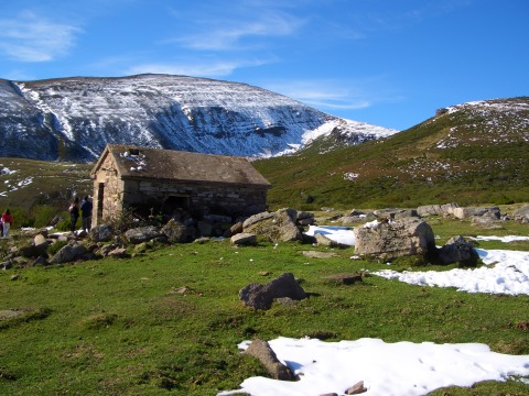
foto 7
A refuge and the pass of Rumaceo behind
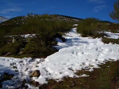
foto 8
  The track that goes to the pass of Rumaceo is covered with snow
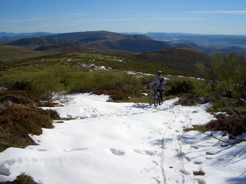
foto 9
We turn back

foto 10
We cycle on the ice in the barranco de las Hachas
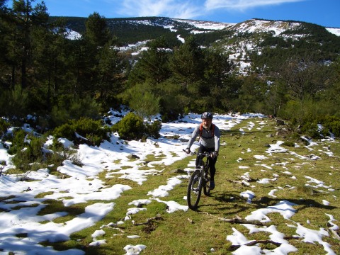
foto 11
The snow covers part of the track

foto 12
We cross a pond
foto13
The colours of the forest

foto14
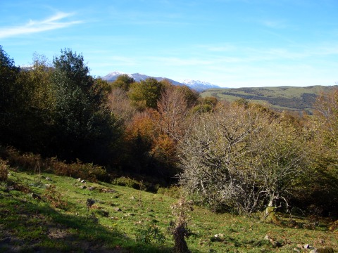
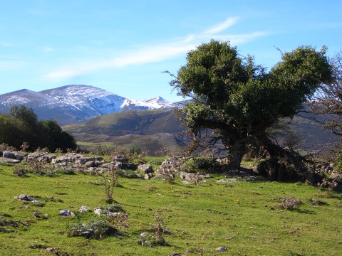
A holly tree stands before the Sierra del Cordel
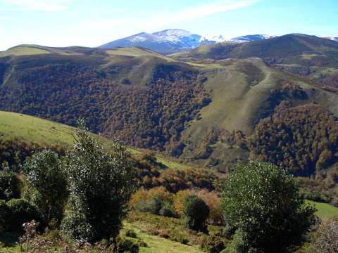
foto 15
The landscape near the pass of  Cruz de Fuentes
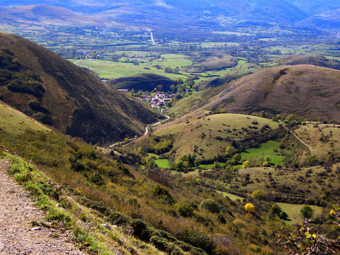
foto 16
  The village of Argüeso, during the final descent

Downloads

To open the route in Google Earth click on the 'KMZ' link and select 'Open with Goole Earth' (requires prior installation of Google Earth). To download a route, right-click on the link and select 'save link as' or a similar option.

Instructions

See the instructions and disclaimer, as well as other routes, in the main page.