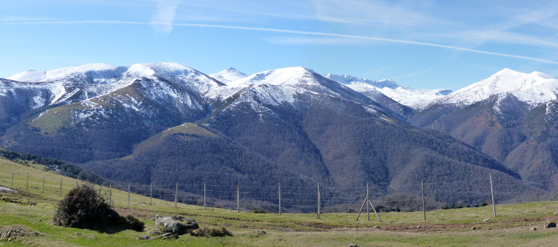
La sierra del Cordel desde la Venta Vieja

| Kilometers/Miles |
45 / 28 |
| Cumulative ascent: meters/feet |
1248 / 4093 |
| Maximum height: meters/feet |
1271 / 4169 |
| Duration |
5 hours |
| Time moving |
4:05 hours |
| Beginning and end location |
Near Correpoco |
| Difficulty |
Medium |
| Month |
February 2009 |
| Recommended period |
Spring, Summer, Autum |
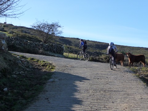 The start of the ascent from Colsa |
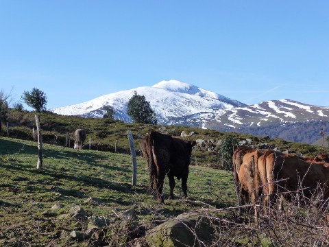 Some cows with the sierra of Cordel in the background |
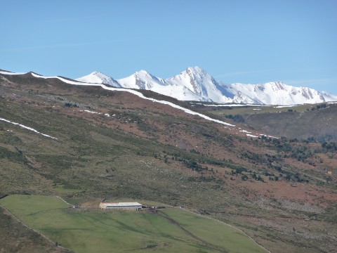 The massif of Peña Sagra, covered in snow |
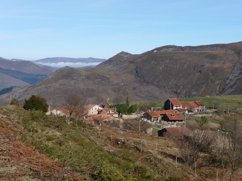 The village of Colsa |
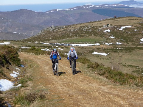 The track to Venta Vieja |
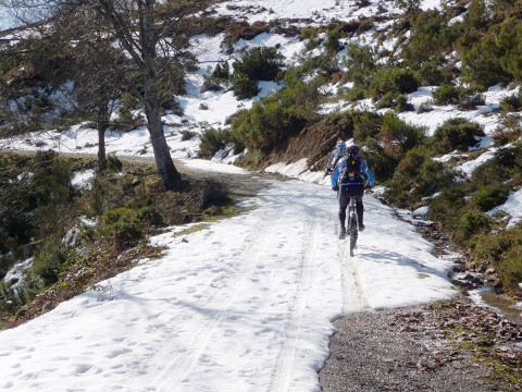 We find hard snow on which we can cycle |
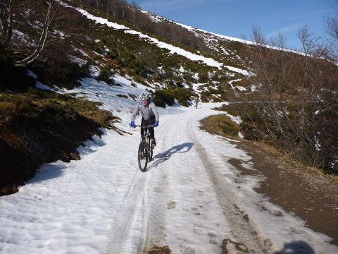 We cycle over the snow for many meters |
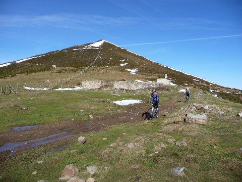 The ruins of Venta Vieja |
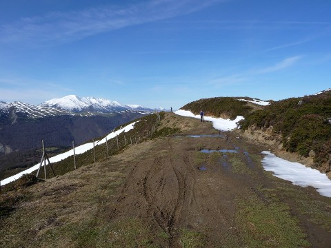 The descent to Ozcaba
|
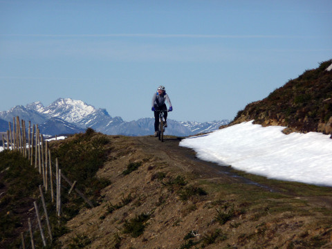 We enjoy magnificent views |
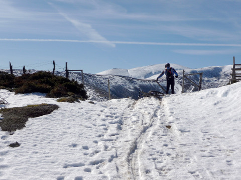 A fence separates both valleys |
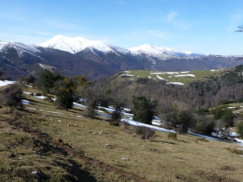 Some trees in front of snowy mountains |
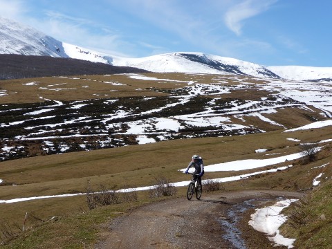 The ascent towards Cruz de Fuentes |
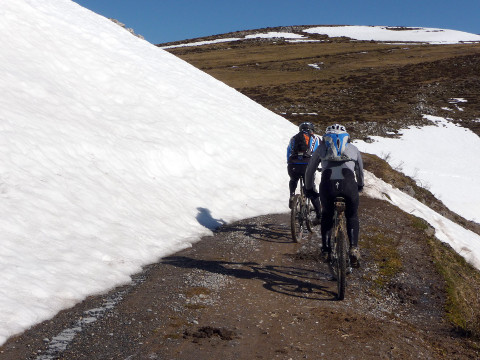 The snow covers the track |
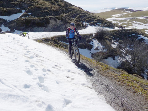 A narrow pass |
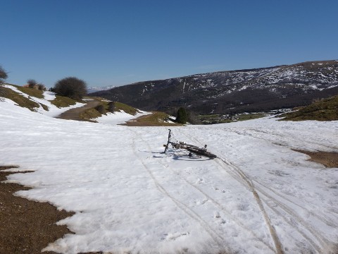 The pass of Cruz de Fuentes |
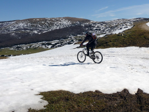 We start the descent |
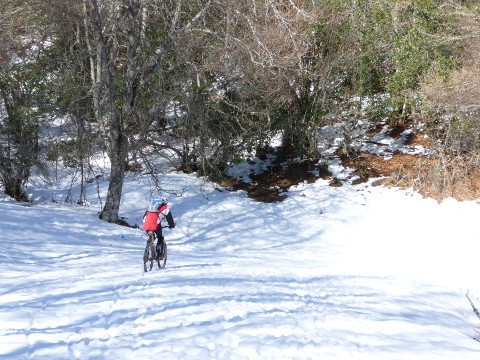 There is a lot of snow |