
The pass of Obios surounded by the fog still has some patches of snow

| Kilometers/Miles |
23 / 14 |
| Cumulative ascent: meters/feet |
1025 / 3362 |
| Maximum height: meters/feet |
1221 / 4005 |
| Duration |
4 hours |
| Beginning and end location |
Bárcena de Pie de Concha |
| Difficulty |
Medium |
| Month |
March 2008 |
| Recommended period |
Spring, summer, autum |
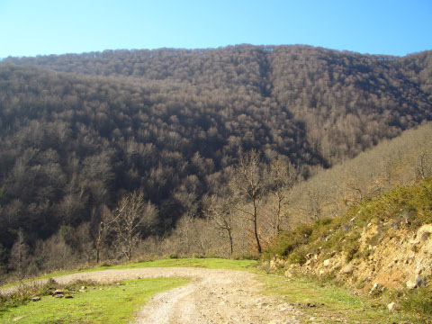 The forest of Vaocerezo shows us its grey winter colours |
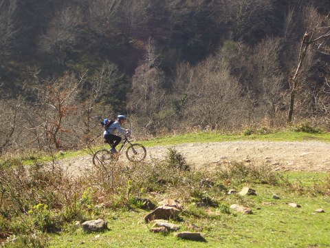 The track going up from Pujayo |
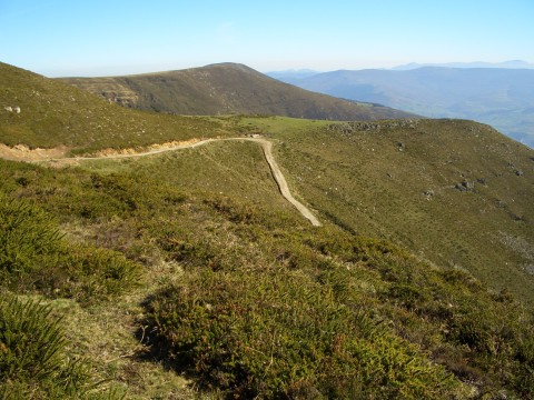 The last sections of the ascent |
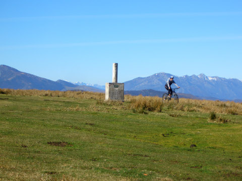 Obios peak |
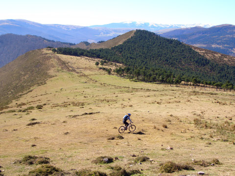 Obios pass |
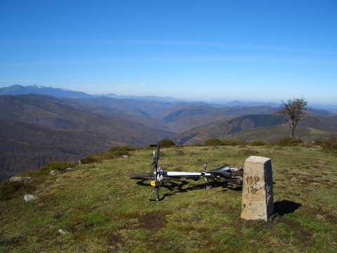 The valley of Bárcena Mayor |
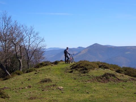 We look down to the valley of river Besaya |
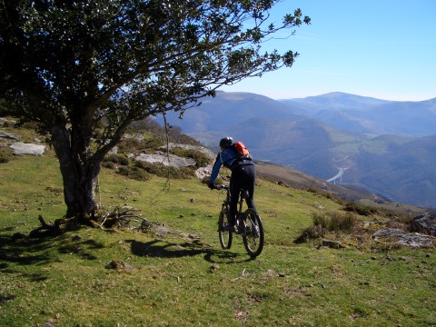 Cross-country descent by the ridge |
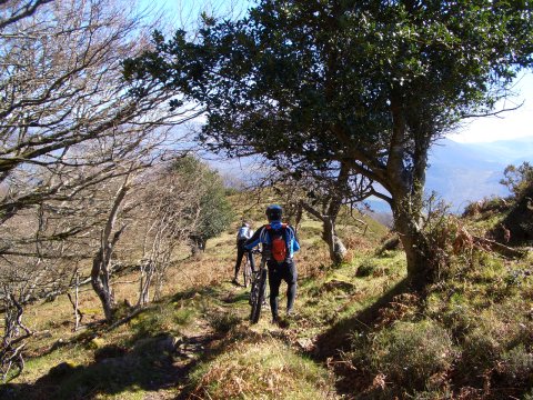 We have to walk in some parts |
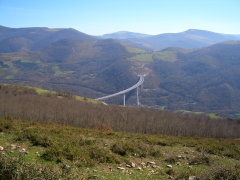 The Montabliz bridge, just opened, is the highest in Spain |
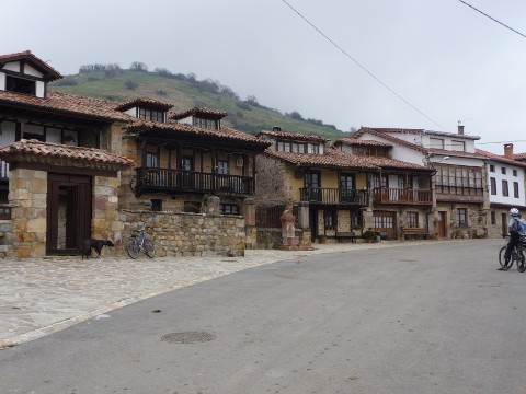 The beautiful village of Pujayo |
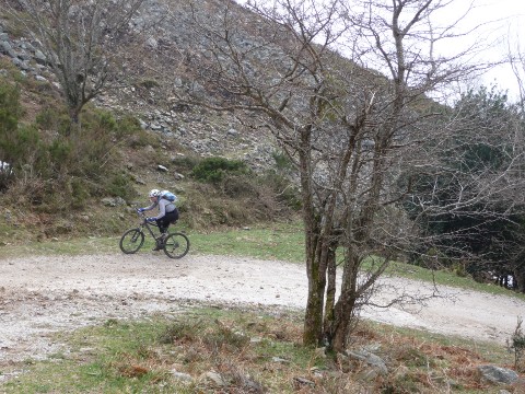 The track to Obios peak is rather steep |
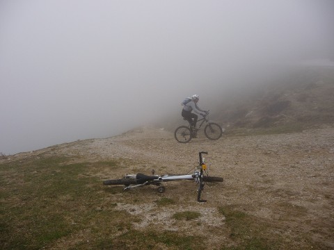 The fog covers the track temporarily |
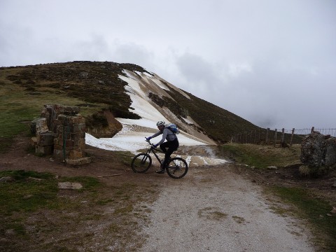 There are some snow patches on the track |
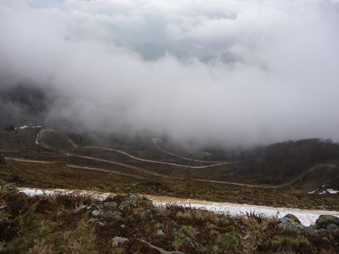 The bends of the track from Pujayo get covered by the fog |
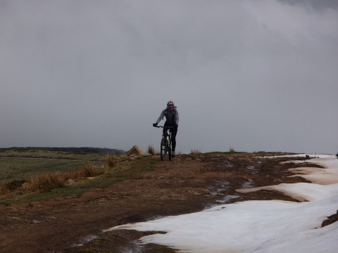 The last part of the track is less steep |
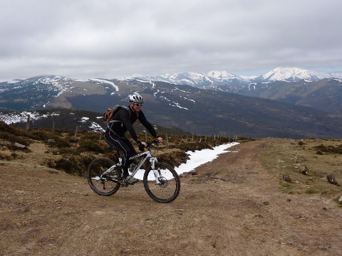 The crossing with the track from El Moral, with the Sierra of Cordel behind |
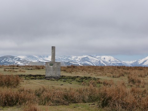 The geodesic mark of Obios stands in front of the snowy mountains |