Cantabria by Bike

Ascent to Peak La Gándara from Treceño

Route 61

By: Javier Tovar, Pedro Ceballos, and Michael González Harbour

Map

Basic Data


Kilometers/Miles
42 / 26
Cumulative ascent: meters/feet
1623 / 5323
Maximum height: meters/feet
923 / 3027
Duration
6 hours
Beginning and end location
La Herrería (Treceño)
Difficulty
High
Month
January 2008 / February 2009 / February 2010
Recommended period
All year round

Profile

Pictures

Pictures of January 2008

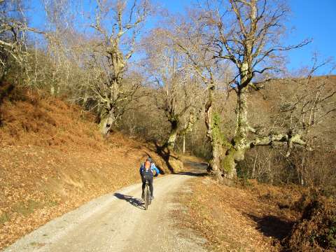
foto1
The track that goes up from Bustriguado crosses an oak forest
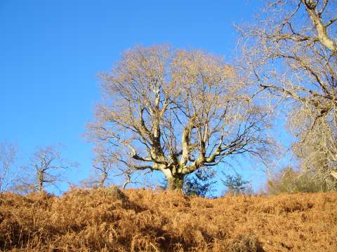
foto2
A big oak tree awaits the winter leafless
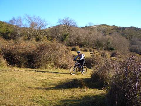
foto 3
When the track comes to its end we have to continue cross country
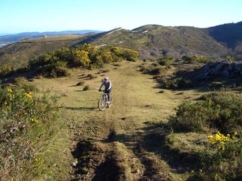
foto 4
  In some places there is a path marked by the footprints of the quads
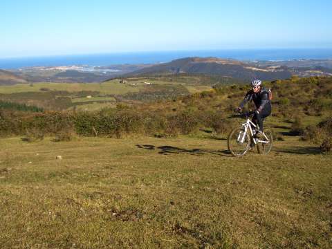
foto5
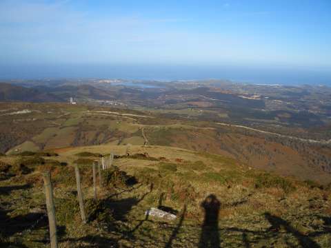
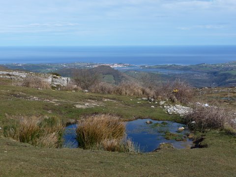
We enjoy magnificent views of the coast during the ascent
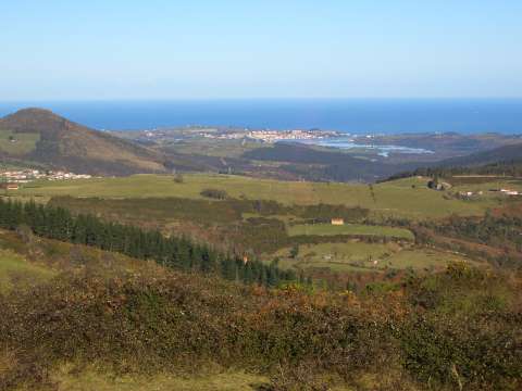
foto 6
The estuary of San Vicente de la Barquera
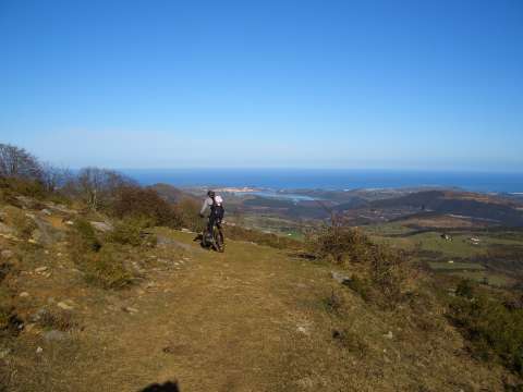
foto 7
It seems as if the coast wast at the reach of our arms
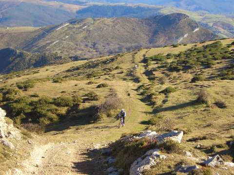
foto 8
The last meters in the ascent to the antenna in the peak of
Corona del Arnero
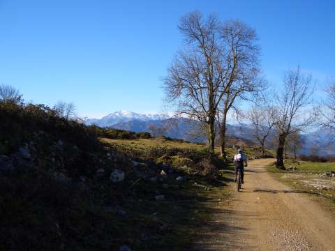
foto9
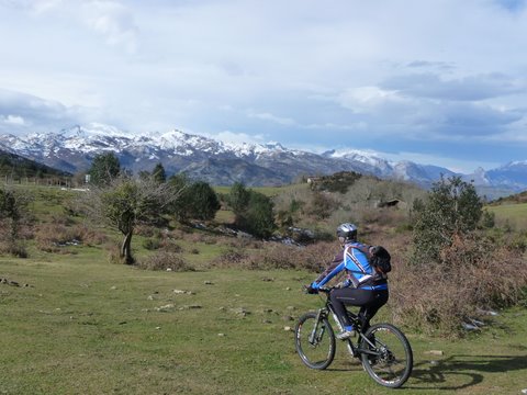
The track close to the old mining village of La Florida,
with the massif of Picos de Europa, covered with snow, behind
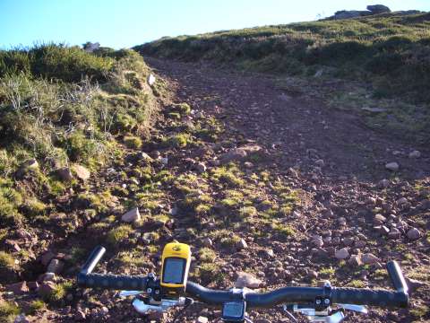
foto 10
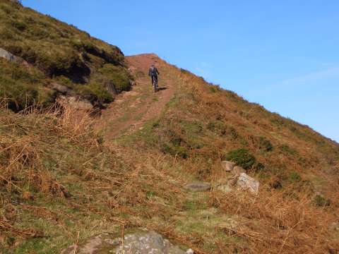
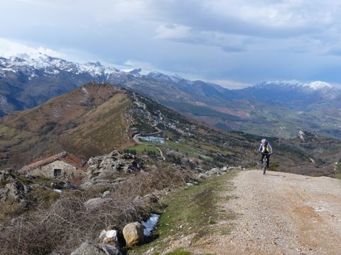
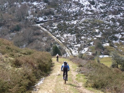
The ascent to peak La Gándara has some difficult sections
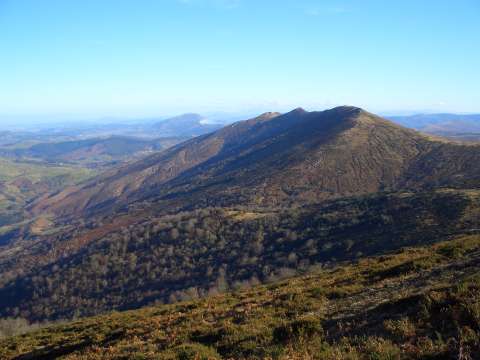
foto 11
The ridge of El Escudo de Cabérniga

foto 12
  A strong ramp near the peak
foto 13
The views from peak La Gándara are spectacular
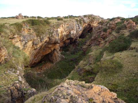
foto 14
The area has many caves and abandoned mines
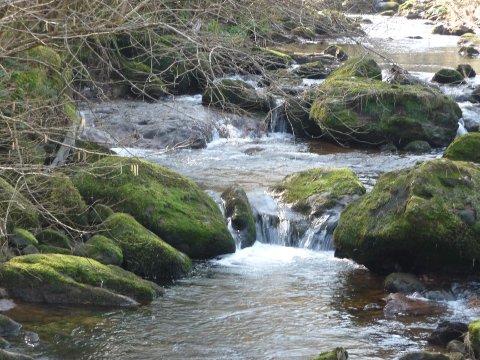

Pictures of February 2009

foto 11
Bustriguado creek

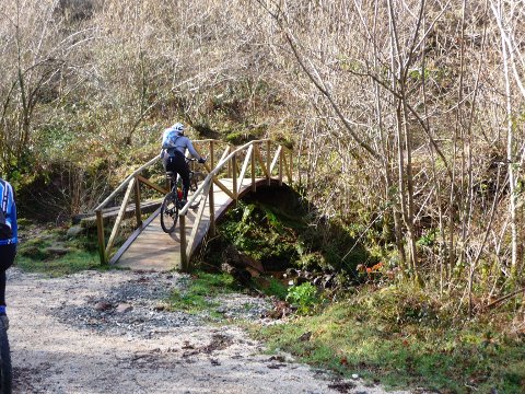
foto 12
The track crosses a wooden bridge
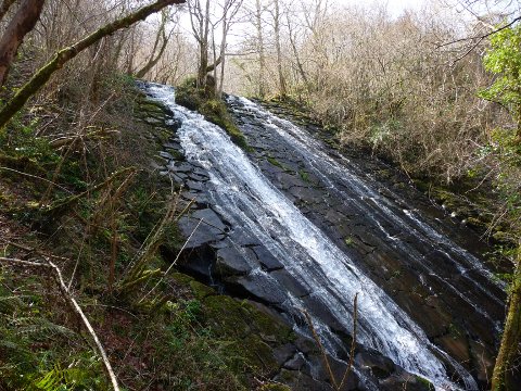
foto 11
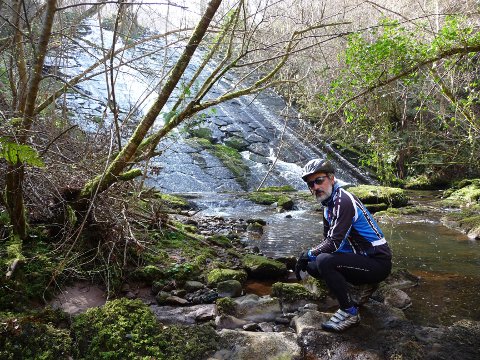
Llasca de los Moros is a curious waterfall

foto 12
The water falls over a natural slope that seems artificially cut


Pictures of February 2010

foto 19
Near the cave of El Soplao

foto 20
A cottage near El Soplao
foto 21
San Vicente de la Barquera

foto 22
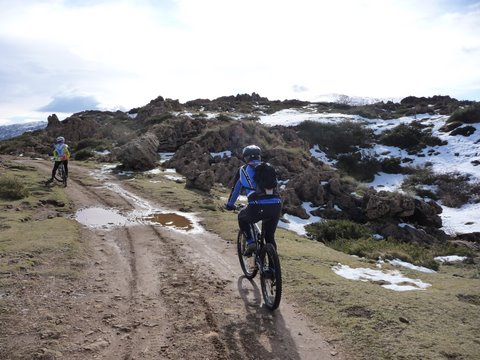
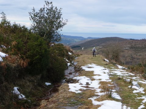
The snow appears at the side of the path
foto 23
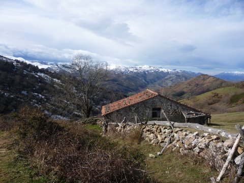
The architecture of the cottages in the Nansa valley

foto 24
Before climbing the peak we need to go down
to a pass where we find a steep ramp

foto 25
The snow covers the track

foto 26
Until we cannot pedal any more

Downloads

To open the route in Google Earth click on the 'KMZ' link and select 'Open with Goole Earth' (requires prior installation of Google Earth). To download a route, right-click on the link and select 'save link as' or a similar option.

Instructions

See the instructions and disclaimer, as well as other routes, in the main page.