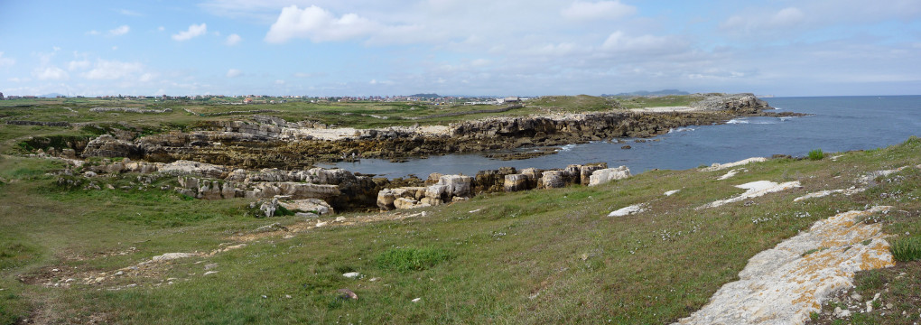
Estuary of los Bajos de Malasmañas

| Kilometers/Miles |
46 / 29 |
| Cumulative ascent: meters/feet |
926 / 3037 |
| Maximum height: meters/feet |
235 / 771 |
| Duration |
4 hours and a quarter |
| Beginning and end location |
Santa Cruz de Bezana |
| Difficulty |
Low |
| Month |
December 2007 |
| Recommended period |
All year round |
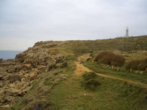 The cliffs and lighthouse of Cabo Mayor |
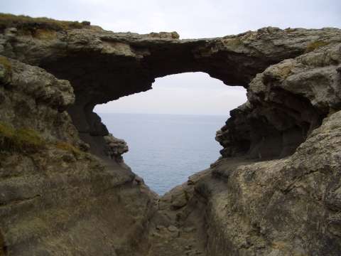 Devil's bridge |
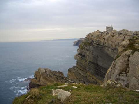 Monument to the English man |
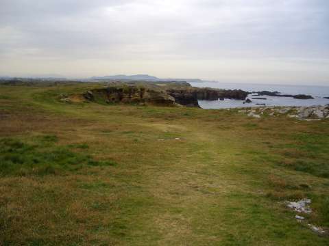 The path goes close to the sea, in an area of virgin coast |
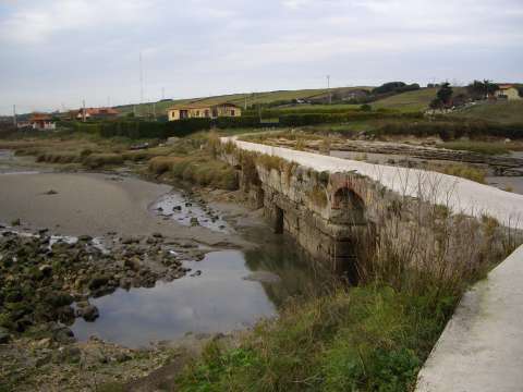 The path crosses the wall of the old tidal mill of La Maruca |
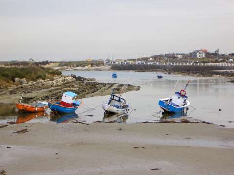 The estuary of La Maruca |
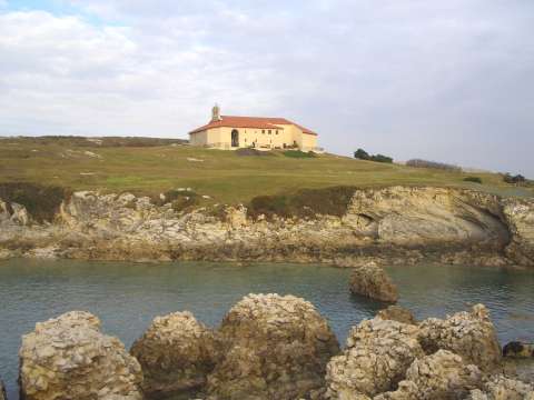 The hermitage of la Virgen del Mar |
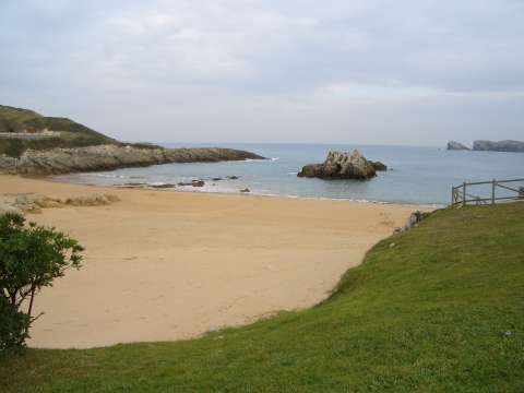 The beach of San Juan de la Canal |
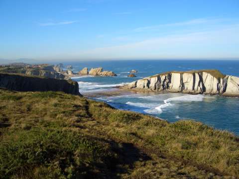 The beach of Covachos, almost without sand because of the last sea storms |
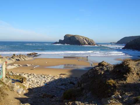 The beach of la Arnía |
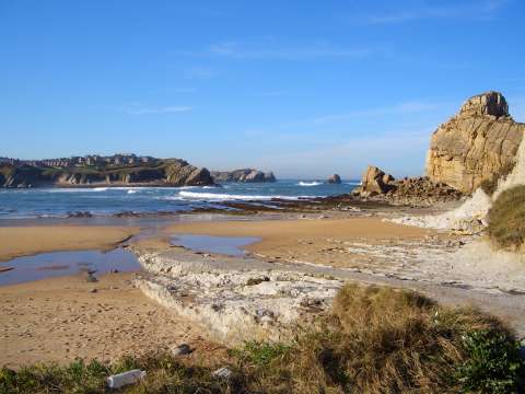 The beach of Portio, and the beach of Cerrias in the background |
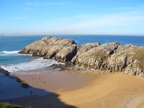 The beach of Somocuevas |
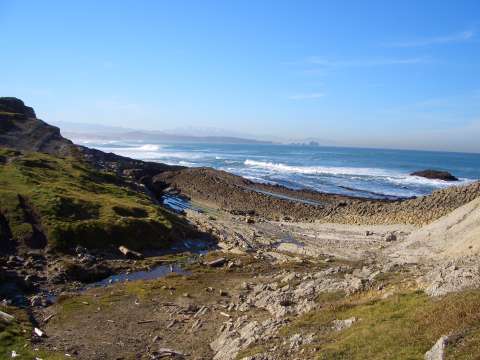 The massif of Picos de Europa can be seen in the back of this image close to the beach of Canallave |
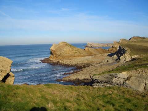 The small beach of Pedruquíos |
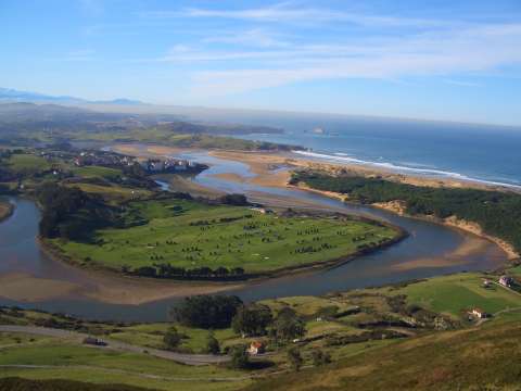 The estuary of river Pas, with the beach of Valdearenas, seen from la Picota of Liencres |
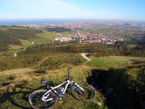 Mortera and Santander seen from la Picota of Liencres |
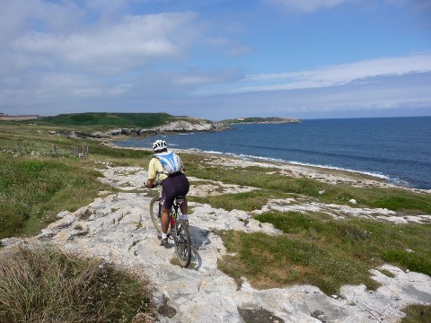 Cycling by the coast near Ciriego |
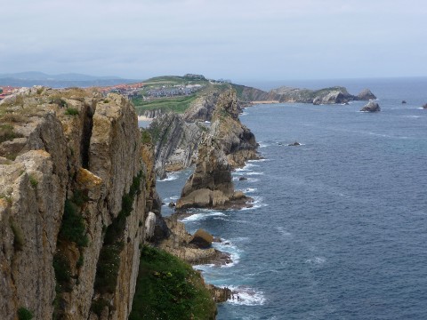 The cliffs near the beach of Portio |
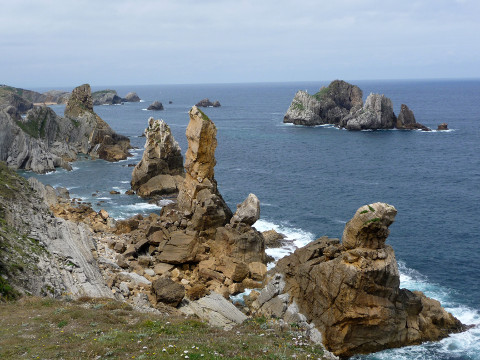 The small rocky islands called Los Urros de Liencres |
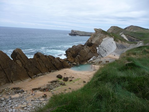 The beach of Pedruquíos |