Cantabria by Bike

Entrambasmestas, Guzparras, Vega de Pas, Pandillo

Route 58

By: Javier Tovar, Pedro Ceballos, and Michael González Harbour

Map

Basic Data


Kilometers/Miles
49 / 30
Cumulative ascent: meters/feet
1235 / 4050
Maximum height: meters/feet
789 / 2588
Duration
5 hours
Beginning and end location
Entrambasmestas
Difficulty
Medium
Month
December 2007
Recommended period
All year round

Profile

Pictures


foto1
The tiny village of Guzparras
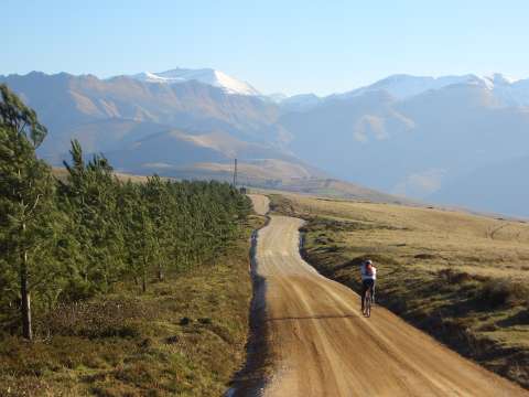
foto2
The track that goes to the pass of la Braguía,
with the peak called Picón del Fraile behind
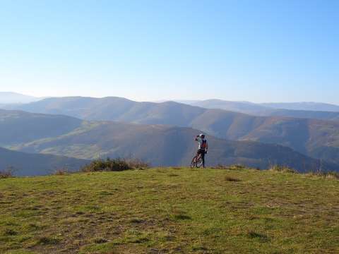
foto 3
Looking down to Vega de Pas

foto 4
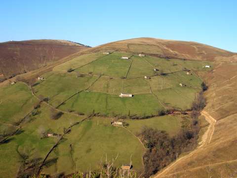
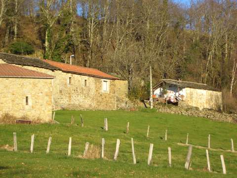
  Cottages near the pass of la Braguía
foto5
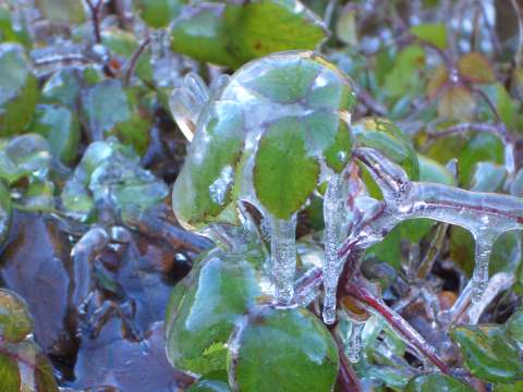
Ice covering the leaves near the Pandillo creek
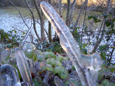
foto 6
Another view of the icicles

foto 7
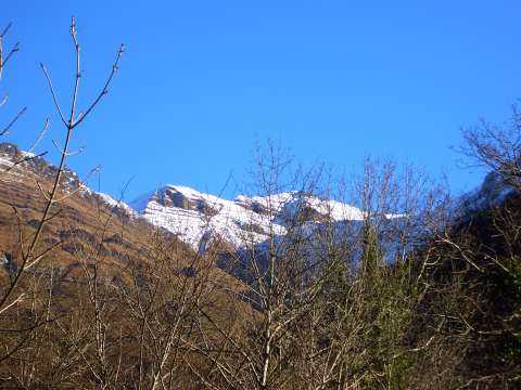
  The peak of Castro Valnera from Pandillo
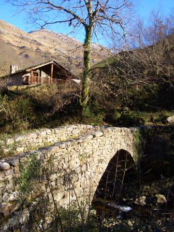
foto8
  A bridge over the Pandillo creek

foto9
Vega de Pas with the peak of Castro Valnera behind
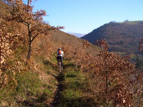
foto 10
The path that goes down from Pandacebo
to la Gurueba is narrow and difficult
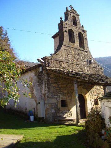
foto 11
The hermitage of la Gurueba

foto 12
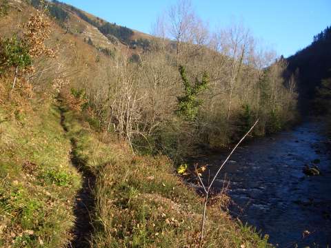
The path continues by the bank of river Pas
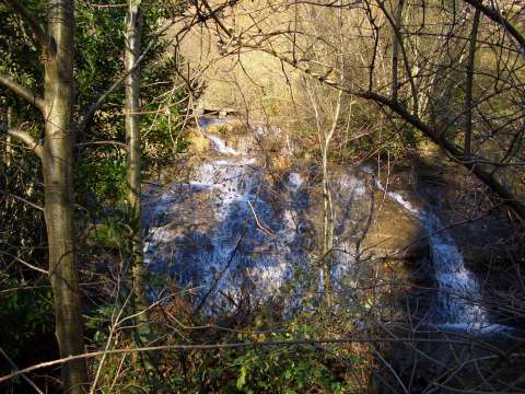
foto 13
  A small waterfall near river Pas

foto 14
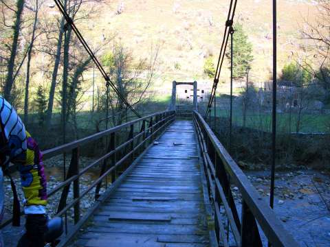
We cross the river through a narrow suspended bridge

Downloads

To open the route in Google Earth click on the 'KMZ' link and select 'Open with Goole Earth' (requires prior installation of Google Earth). To download a route, right-click on the link and select 'save link as' or a similar option.

Instructions

See the instructions and disclaimer, as well as other routes, in the main page.