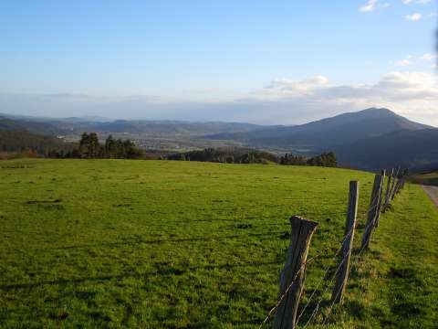
Looking back during the ascent to Prado de San Ciprián
we can see the valley of river Saja and mount Ibio behind
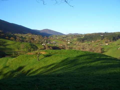
Houses surrounded by green fields near
San Vicente del Monte
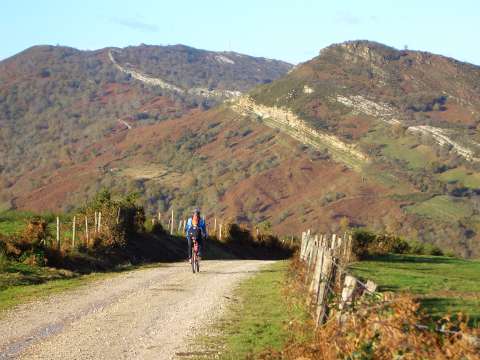
The track that goes down to Bustriguado creek
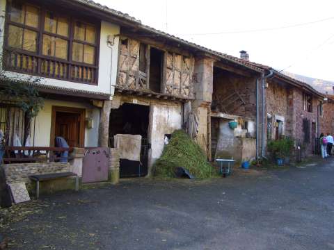
The village of Bustriguado
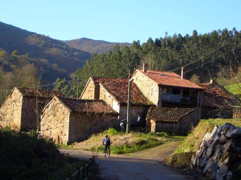
Another view of Bustriguado
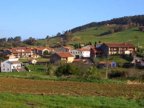
The village of Caviedes received the award
"Village of Cantabria 2006"
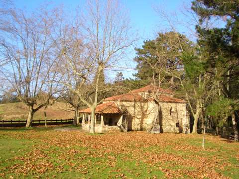
The Hermitage of St. Anthony, in mount Corona
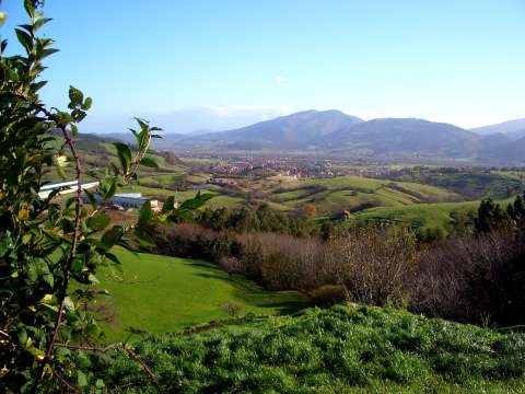
A beautiful view of Cabezón de la Sal from the Barrio del Turujal