Cantabria by Bike

Santiurde de Toranzo, Guzparras, Hayedo de Rasillo

Route 55

By: Javier Tovar, Pedro Ceballos, and Michael González Harbour

Map

Basic Data


Kilometers/Miles
35 / 22
Cumulative ascent: meters/feet
1158 / 3798
Maximum height: meters/feet
851 / 2791
Duration
5 hours
Beginning and end location
Santiurde de Toranzo
Difficulty
Medium
Month
November 2007
Recommended period
Summer, or dry period
.

Profile

Pictures


foto1
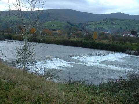
  The first part of the track goes along the river Pas
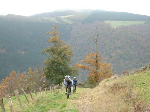
foto2
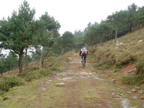
  The ascent towards Guzparras

foto 3
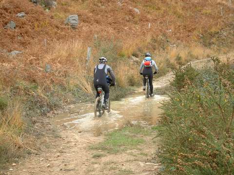
We had a lot of rain in the previous days
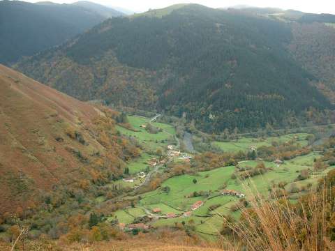
foto 4
  The village of Ocejo, in the valley of river Pas
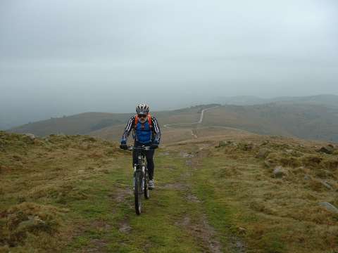
foto5
The Height of La Barrancosa. The ridge that can be seen in the
  background goes to the pass of la Braguía
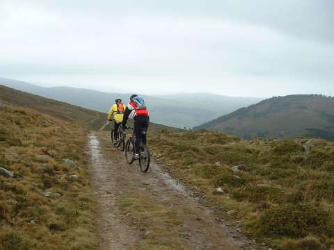
foto 6
Near mount Berana
foto 7
  In mount Cotera Lobos, we cross a pine forest
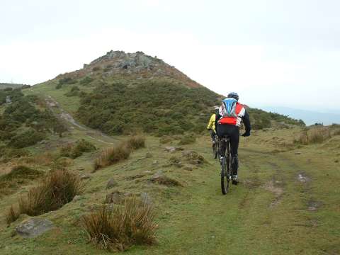
foto 8
 The ridge near the pass of Tablao

foto 10
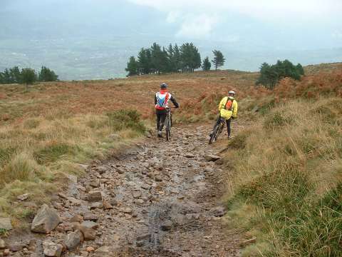
The descent has many difficult sections in which we have to walk
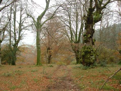
foto10
  The beech forest of Rasillo

Downloads

To open the route in Google Earth click on the 'KMZ' link and select 'Open with Goole Earth' (requires prior installation of Google Earth). To download a route, right-click on the link and select 'save link as' or a similar option.

Instructions

See the instructions and disclaimer, as well as other routes, in the main page.