Cantabria by Bike

Caviedes, Cave of El Soplao, Bielva

Route 54

By: Javier Tovar, Pedro Ceballos, and Michael González Harbour

Map

Basic Data


Kilometers/Miles
40 / 25
Cumulative ascent: meters/feet
1161 / 3809
Maximum height: meters/feet
520 / 1706
Duration
4 hours and a quarter
Beginning and end location
Caviedes
Difficulty
Medium
Month
November 2007
Recommended period
All year round

Profile

Pictures


foto1
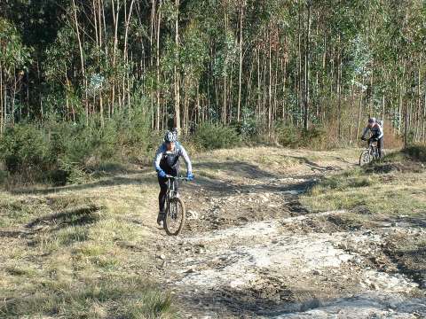
The ascent from La Cocina through the path called "las lastras"
has a complicated initial section
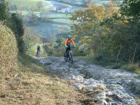
foto2
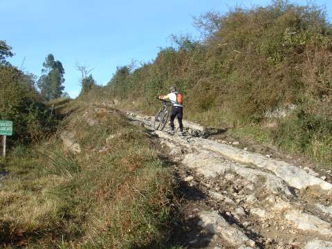
Later, the slope is not so steep, but the mud makes it difficult to cycle
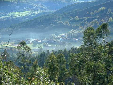
foto 3
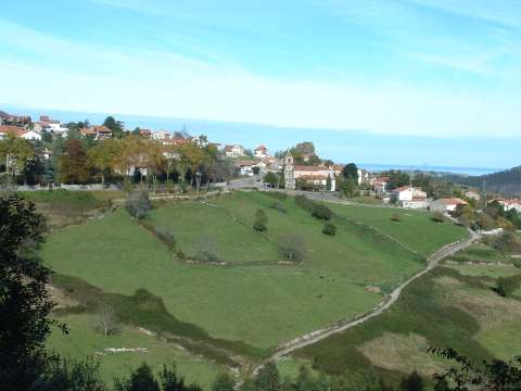
The village of La Concha

foto 4
  The path of "las lastras" crosses an eucalyptus forest
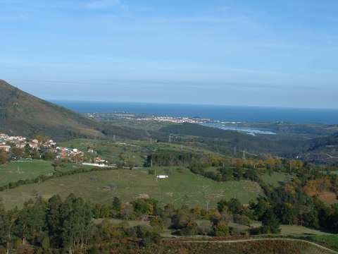
foto5
San Vicente de la Barquera from the ascent to El Soplao
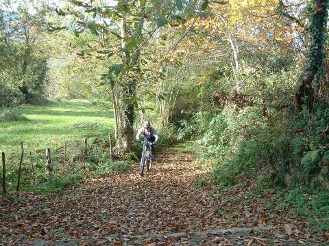
foto 6
We climb up to Bielva via a narrow path between trees
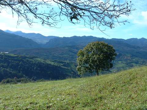
foto 7
The ascent to the Hight of la Rehoya
foto 8
The village of Labarces

Downloads

To open the route in Google Earth click on the 'KMZ' link and select 'Open with Goole Earth' (requires prior installation of Google Earth). To download a route, right-click on the link and select 'save link as' or a similar option.

Instructions

See the instructions and disclaimer, as well as other routes, in the main page.