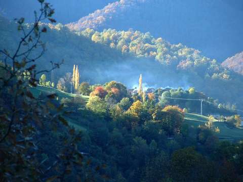
The smoke coming out from the chimeneys of Barrio remarks
the beautiful colours of the trees
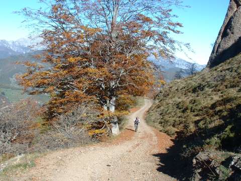
The track that climbs towards the pass of Casanzo
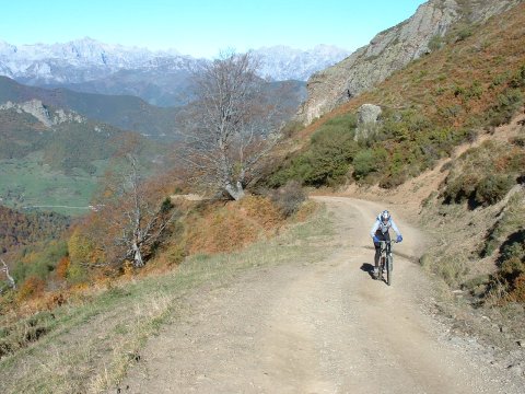
The track has some very steep sections; others,
like this one, are easier to cycle
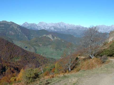
From the pass of Casanzo we can almost see the
whole valley of Liébana
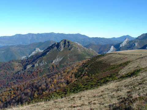
The Casanzo peak, with the massif of Peña Sagra behind. On the side
of the mountain we can see the track where we came from
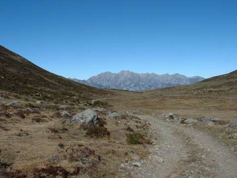
Looking back from this moon-like landscape in the heights of Riofrío,
we can see the Picos de Europa
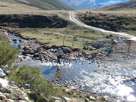
Crossing the Frío (Cold) river
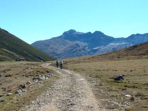
The track goes to the base of peak Curavacas
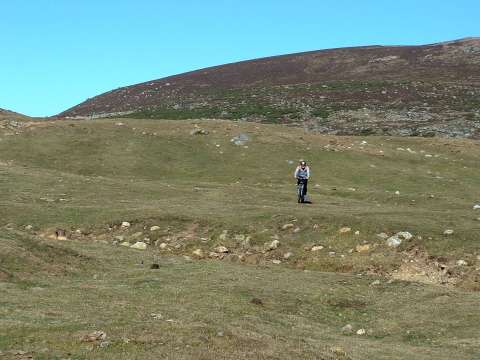
We enjoy some cross-country
cycling
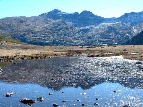
The peak of Curavacas has some ice on its North side
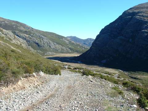
The valley of river Carrión, goes around the East side of peak Curavacas
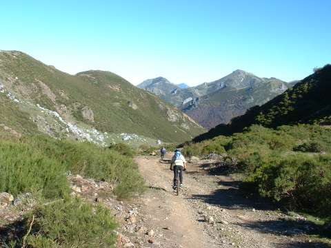
We return following the valley of river Frío
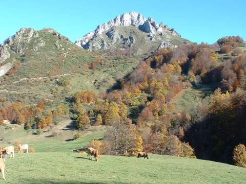
We have enjoyed the colours of the forest in Autum
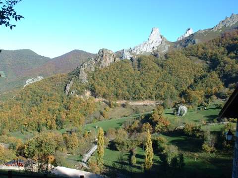
Near the village of Cucayo