Cantabria by Bike

Pass of las Llaves from Puente El Arrudo

Route 50

By: Javier Tovar, Pedro Ceballos, and Michael González Harbour

Map

Basic Data


Kilometers/Miles
48 / 30
Cumulative ascent: meters/feet
1598 / 5241
Maximum height: meters/feet
1074 / 3539
Duration
5 hours
Beginning and end location
Puente El Arrudo
Difficulty
High
Month
October 2007
Recommended period
Spring, Summer, Autum

Profile

Pictures


foto1
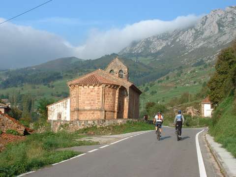
  The romanesque church in Lafuente. Behind, we can see the massif of
Peñarrubia, with the pass of las Llaves covered in fog
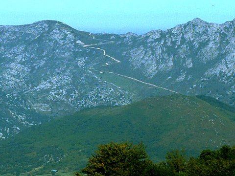
foto2
  The path that goes up towards the  pass of las Llaves can be seen
  by the side of the mountain
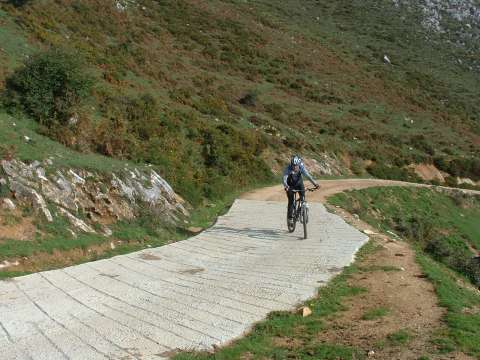
foto 3
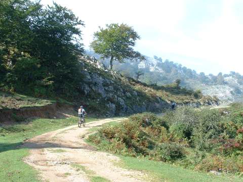
  A section of the hard ascent towards the pass of las Llaves
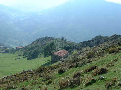
foto 4
  A view during the ascent

foto5
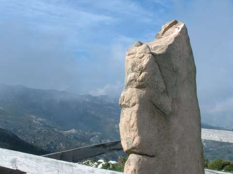
At the pass of las Llaves we find a neolithic necropolis
and an impressive menhir
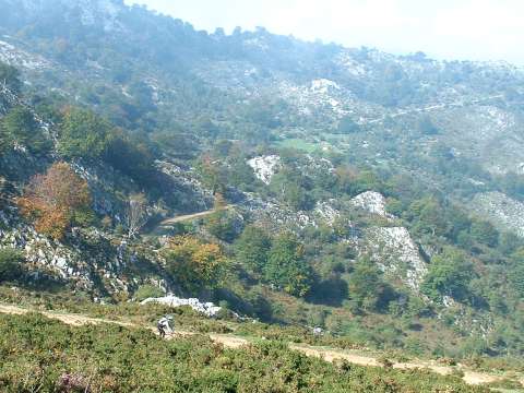
 
foto 6
  The ascent to Braña Collao
foto 7
Another view of the surroundings of the pass of las Llaves
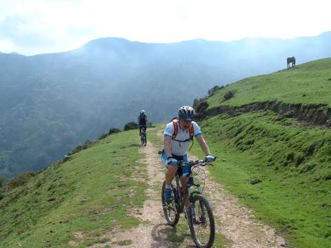
foto 8
The final part of the ascent to Braña Collao
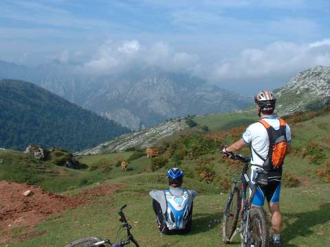
foto 9
From Braña Collao we get a magnificent view of the
  Canyon of la Hermida
foto 10
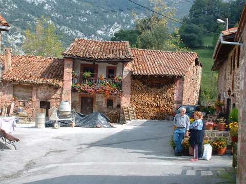
  The pretty village of Roza

Downloads

To open the route in Google Earth click on the 'KMZ' link and select 'Open with Goole Earth' (requires prior installation of Google Earth). To download a route, right-click on the link and select 'save link as' or a similar option.

Instructions

See the instructions and disclaimer, as well as other routes, in the main page.