Cantabria by Bike

Ascent to Braña de los Tejos from Quintanilla Lamasón

Route 49

By: Javier Tovar, Pedro Ceballos, and Michael González Harbour


Map

Basic Data


Kilometers/Miles
35 / 22
Cumulative ascent: meters/feet
1338 / 4389
Maximum height: meters/feet
1410 / 4624
Duration
4 and a half hours
Beginning and end location
Quintanilla Lamasón
Difficulty
High
Month
September 2007
Recommended period
Summer

Profile

Pictures


foto1
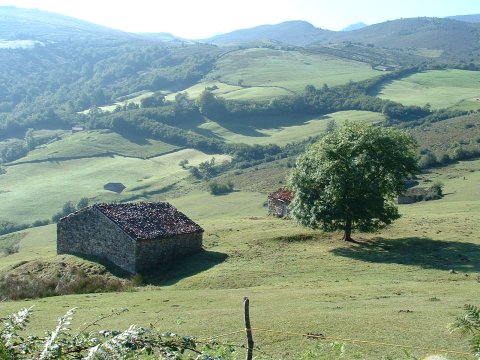
We get magnificent views of the Lamasón valley
during the ascent towards Venta de los Lobos
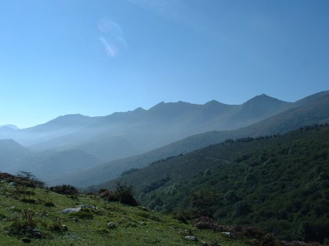
foto2
The massif of  Peña Sagra is covered in the fog originated
by the evaporation of the rain that fell the previous day
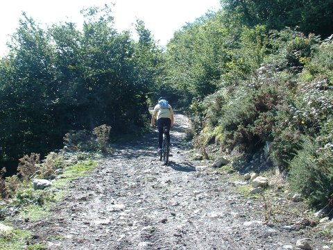
foto 3
  The muddy  track near Venta de los Lobos
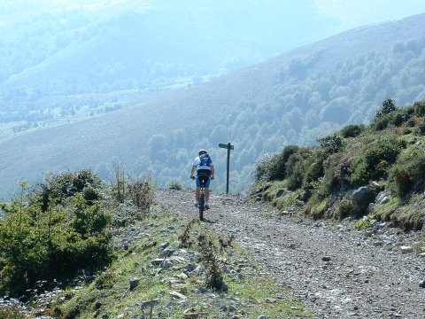
foto 4
  We cycle by the side of Peña Sagra

foto5
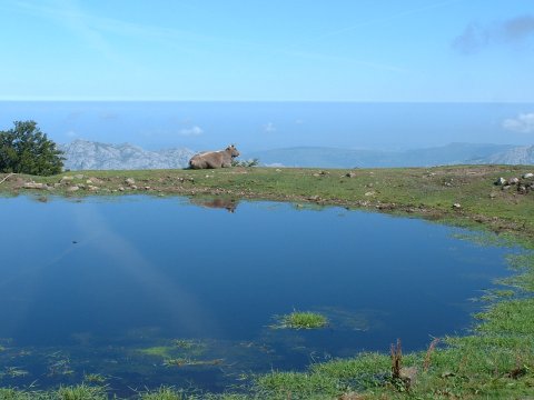
A cow lies by a pond in the pass of Pasaneu.
In the background, the Cantabrian sea, covered with fog
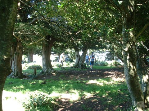
foto 6
The beautiful yew trees of Braña de los Tejos
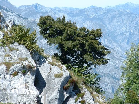
foto 7
A yew in front of  the high rocky mountains
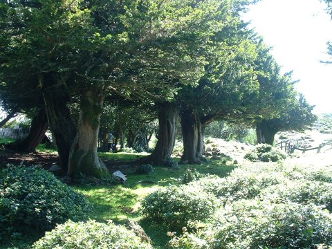
foto 8
The yew trees have their trunks formed as a union of several branches
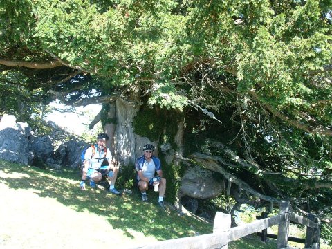
foto 9
The diameter of this yew, probably of near a thousand years old,
is over two meters
foto 10
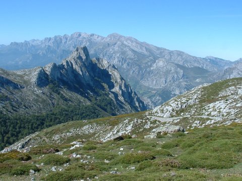
  The peak of La Ventosa in front of the Eastern Massif of the Picos de Europa

Downloads

To open the route in Google Earth click on the 'KMZ' link and select 'Open with Goole Earth' (requires prior installation of Google Earth). To download a route, right-click on the link and select 'save link as' or a similar option.

Instructions

See the instructions and disclaimer, as well as other routes, in the main page.