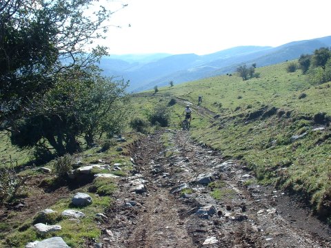
The rocky trail to el Alto de La Jazona
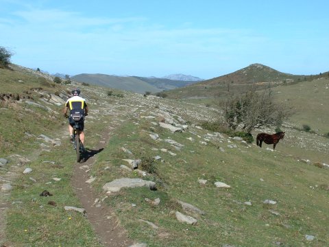
Arriving at Prado Concejo de Tudanca
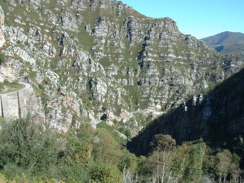
The ascent by road to the dam of La Cohilla
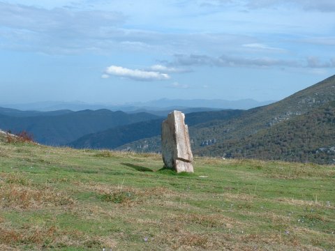
One of the menhirs at Sejos
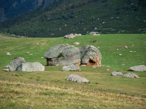
The glaciar moraines in Sejos
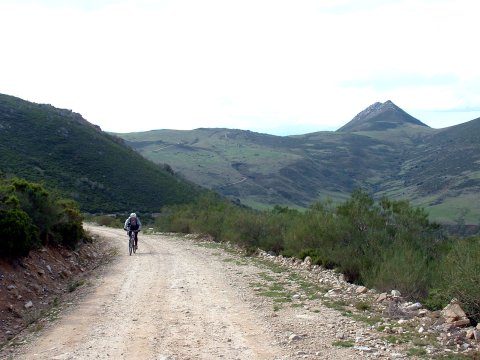
Ascent from Devil's creek to Llano Castrillo
| Kilometers/Miles |
67 / 42 |
| Cumulative ascent: meters/feet |
2191 / 7186 |
| Maximum height | 1585 / 5200 |
| Duration |
7 and a half hours |
| Beginning and end location |
Saja |
| Difficulty |
Very high |
| Month |
Oct 2006 and Oct 2015 |
| Recommended period |
Summer |
 The rocky trail to el Alto de La Jazona |
 Arriving at Prado Concejo de Tudanca |
 The ascent by road to the dam of La Cohilla |
 One of the menhirs at Sejos |
 The glaciar moraines in Sejos |
 Ascent from Devil's creek to Llano Castrillo |
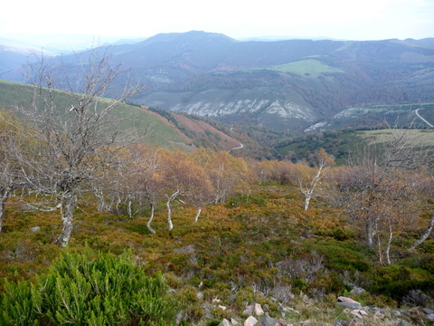 Birch forest with autumn colours |
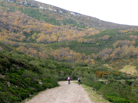 The track ascending from Venta Tajahierro |
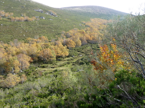 Birches on the descent to the river Saja |
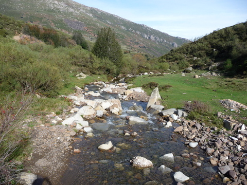 The headwaters of river Saja |
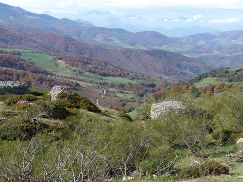 A view of the valley of Polaciones |
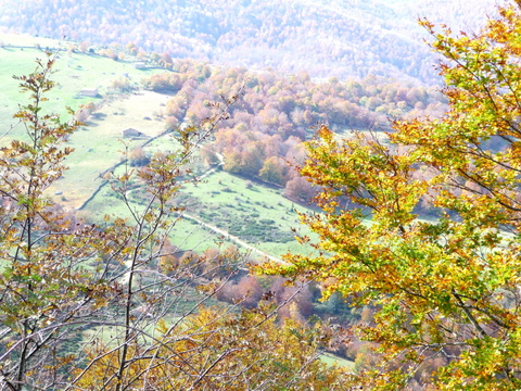 Autumn colours |